July 21, 2018 / admin / 0 Comments
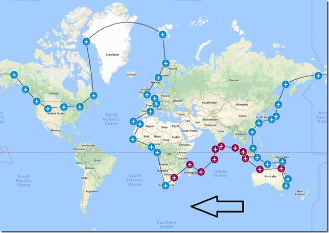
As mentioned in the last tour update, our travelers since leaving Australia, have been bouncing from one island to the next. Most of their activities have been focused on various island style activities. One might think our group has had enough ocean fun…but that’s just not true. Our next destination is Cape Town, South Africa. What’s so interesting about Cape Town (especially when it comes to the ocean)? Well…it just so happens this blog posting (completely by luck) will drop on the day before the 30th installment of the Discovery Channel’s popular Shark Week. And just off the shore of Cape Town, you’ll find something very special. The Great White sharks off the coast are some of the largest sharks on the planet and they do something a little different down here. They breach and leap out of the water. It’s truly an amazing sight…but you’ll really need a bigger boat with these guys. If you’ve never heard of the breaching Great White Sharks, then check out this YouTube video.
History of City
Cape Town is a coastal city in South Africa. It is the second-most populous urban area in South Africa after Johannesburg. Cape Town is the capital and primate city of the Western Cape province. Located on the short of Table Bay, Cape Town is the oldest urban area in South Africa and was developed in 1652 by the Dutch East India Company as a supply station for ships sailing to East Africa, India and the Far East.
History of Country
South Africa, known officially as the Republic of South Africa (RSA), is the southernmost country in Africa and includes over 1,700 miles of coastline stretching along the South Atlantic and Indian Oceans. South Africa is the largest country in southern Africa and the 25th largest country in the world by land area. The population of South Africa is estimated to be near 56 million and is the world’s 24th most populous nation.
History of Airport
Cape Town International Airport (FACT) is the primary airport serving the city of Cape Town and is the second-busiest airport in South Africa and the third busiest in Africa. Opened in 1954 to replace the previous airport, FACT provides direct flights to South Africa’s other two main urban areas of Joburg and Durban as well as to smaller airports with South Africa. The air route between Cape Town and Johannesburg was the world’s 9th busiest air route in 2011 with an estimated 4.5 million passengers.
History of Airline
South African Airways is the flag carrier of South Africa. Founded in 1934, South African Airways flies to 38 destinations in 26 countries in Africa, Europe, North America, South America, Asia and Australasia. The airline has a strong presence in Southern Africa. Their current fleet consists of an all Airbus passenger fleet including the Airbus A319, A320, A330 and A340. They do own three older Boeing 737-300 freighters which are leased from Star Air Cargo.
Flight Briefing
SAA1066
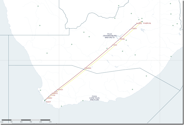
FAOR – FACT
Planned Fuel – 22,000 lbs
Planned Altitude – 36,000
Distance – 686nm
Flight Time – 2hrs
Route: RAGU3A RAGUL UQ10 CSV UZ26 ERDAS ERDA1A
Flight Journal
Our travelers have spent the past several days exploring the Johannesburg area, including a safari tour and overnight stay in Kruger Park. I believe all had an enjoyable stay, but it’s time to once again move on. Up to this point in our tour, our routing has taken us northwest as we traveled through Singapore and Indonesia, then we turned southwest towards Maldives and have been traveling mostly a southwesterly direction. This will be the last leg (for a while) that we head in a southerly direction. Once we depart Cape Town, out progress will be northwest and northeast until we reach Norway. But for now, our direction remain southwest so let’s get started.
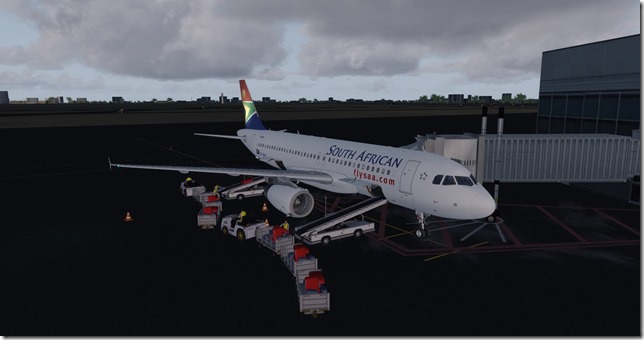
We’re back in the Airbus A320 and shuttling a South African Airways aircraft down to Cape Town. This happens to be a real-world flight. Meaning, South African Airways operate an Airbus A320 between Joburg and Cape Town in real life. It’s a late afternoon departure with a flight time of 2 hours, we should arrive in Cape Town just before dinner.
Lined up and waiting for our take off clearance from ATC.
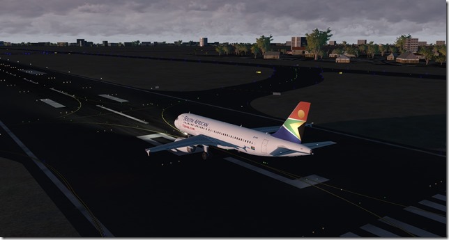
Up, up and away and goodbye Johannesburg.
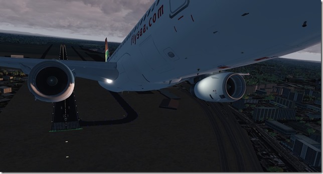
Making our turn to the southwest to join the departure out of FAOR.
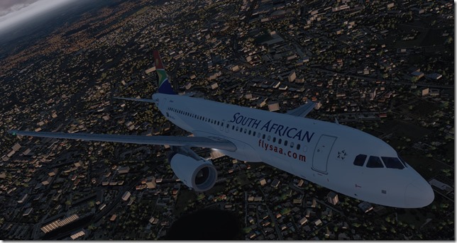
Could be a stormy night for the residents of Joburg.
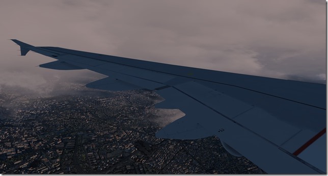
A bit of a bumpy climb, but ATC were accommodating and vectored us around the strongest of the storm cells.
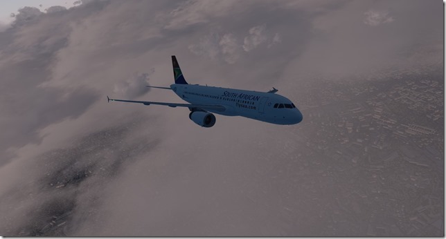
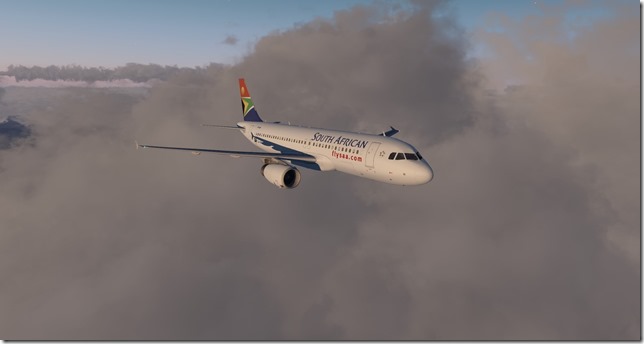
Our livery shot as we’re just about above the storm and clouds. The sun is setting fast.
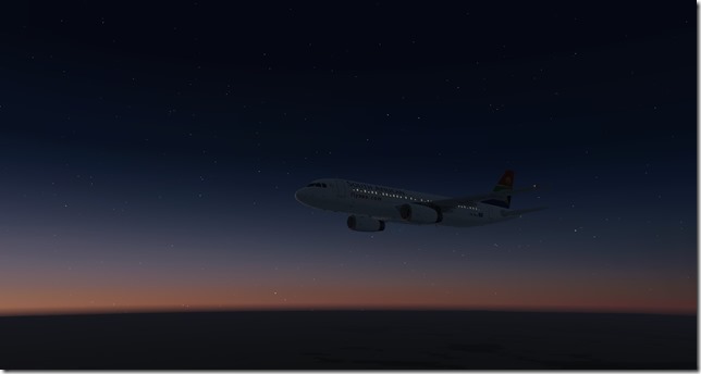
The sun has set.
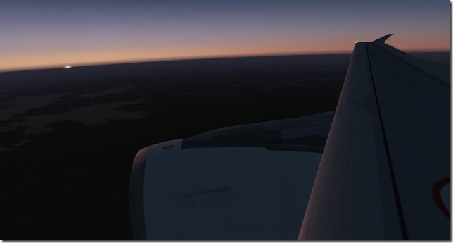
High above South Africa with the warm glow of the setting sun just visible along the horizon.
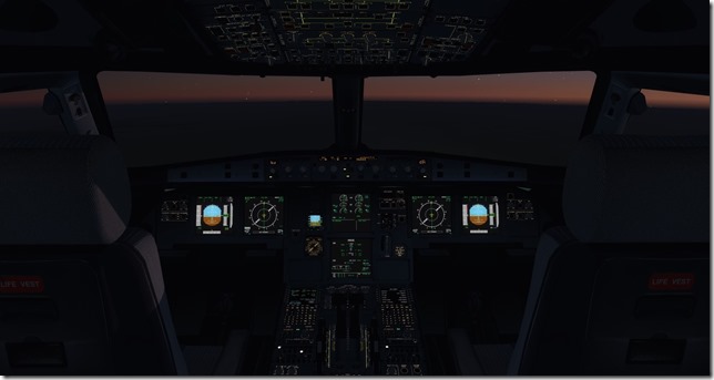
The view from the office at FL360.
The city lights of Cape Town, South Africa.
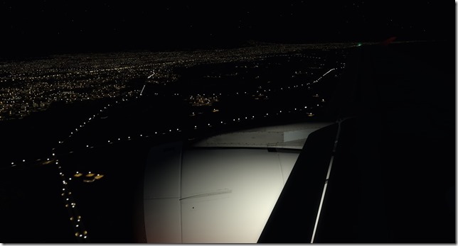
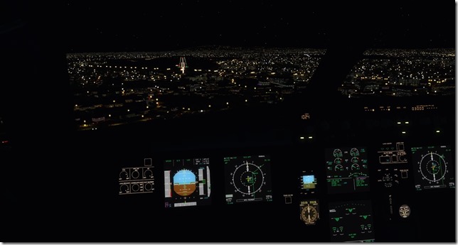
On short final into FACT.
Simulator Specifics
Prepar3d v4.3
ActiveSky Weather Engine
ActiveSky Cloud Art
Envtex & Envshade
FlightSim Labs Airbus A320 (South African Airways livery)
Orbx Global Texture
VATSIM
Route Planning Tools
AivlaSoft PFPX
Navigraph Charts Desktop
FlightAware
FlightRadar24
SkyVector
Google Maps
Computer Hardware Specs
Our travelers have a busy few days exploring Cape Town. Soon we’ll depart and begin our northerly trek. The next leg will be the longest leg of the entire tour as we travel from Cape Town, South Africa to Libreville, Gabon which is 2,122 miles away. For this next leg, we’ll be in the Boeing 787 Dreamliner which should help make the almost 5 hour, 20 minute flight breeze bye.
Until next time…Watch out for those jumping sharks!
Jerry
July 18, 2018 / admin / 0 Comments
A part of me is celebrating the fact we’ve just completed the first 10 legs of the 46 leg journey, but the other part of me realizes we still have 36 legs to go. I began this journey on 2 June, the first post hit the interwebz on 6 June and I’m actually writing this blog post on Monday, 9 July. Yes, I’ve been busy flying the segments….but pacing myself on writing/releasing the articles as I like to be somewhat consistent and this helps me ensure I can keep at the very least two blog updates each week documenting the journey. As we’ve just completed our 10th leg (that’s somewhat of a milestone) let’s review some of our statistics of the journey so far.
Miles Flown – We’ve logged 8,667 miles of the over 36,000 miles it will take to complete our around the world trip.
Hours Flown – Just prior to starting the 11th leg, we’ve logged just over 25 hours of flying time. Flying time is calculated from the time the parking brakes are released and the aircraft is pushed back from the gate of the departure airport to the time of landing, taxi and parking brakes applied at the destination airport.
Fuel burn – We’ve burned a whopping 138,460 pounds of fuel. As a point of reference, a Boeing 747-400 flying between Denver and London will consume approx. 198,000 pounds of fuel.
In the real world, my wife and I are just returning home from spending a week in the mountains (11th wedding anniversary and US Independence Day holiday). Between all the work stresses of the past few weeks…this was a much needed break. I’m home the week of 9 July (the week I’m writing this) and head back to California next week. But enough of all that…let’s get on with this story.
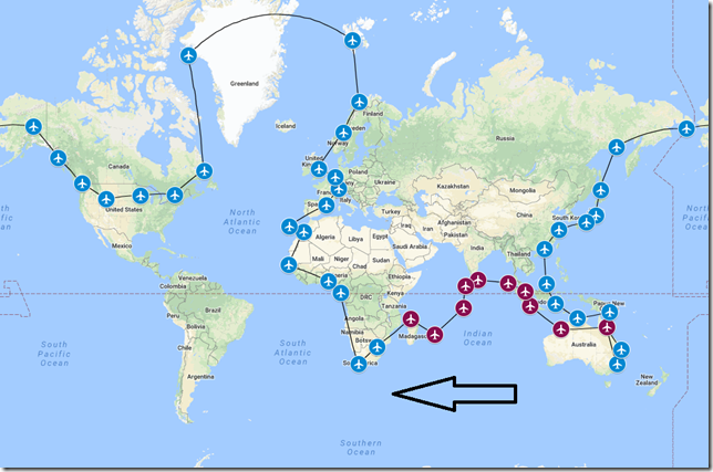
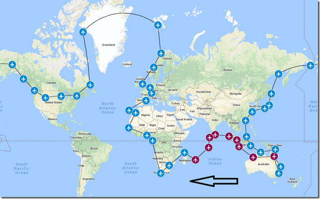
Our updated map showing our progress thus far.
History of City
Johannesburg or Joburg for short, is the largest and most populous city in South Africa and ranks in the top 50 for largest urban areas in the world. The city was established in 1886 following the discovery of gold.
History of Country
South Africa, known officially as the Republic of South Africa (RSA), is the southernmost country in Africa and includes over 1,700 miles of coastline stretching along the South Atlantic and Indian Oceans. South Africa is the largest country in southern Africa and the 25th largest country in the world by land area. The population of South Africa is estimated to be near 56 million and is the world’s 24th most populous nation.
History of Airport
O.R. Tambo International Airport (FAOR) is a major international airport in Kempton Park located very near Johannesburg. It serves as the primary airport for domestic and international travel to/from South Africa and is Africa’s busiest airport with a capacity to handle up to 28 million passengers annually. The airport handles non-stop flights to all continents except Antarctica. It serves as the hub of South Africa’s largest international airline and domestic carrier, South African Airways.
History of Airline
Comair Limited is an airline based in South Africa that operates scheduled services on domestic routes as a British Airways franchisee. Founded in 1943, Comair serves 11 destinations throughout the region and has a current fleet consisting of seven Boeing 737-400 and nine 737-800 aircraft.
Flight Briefing
CAW1066
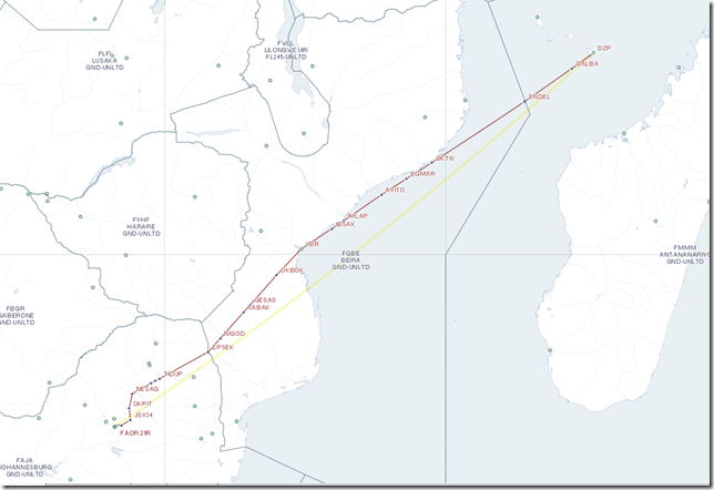
FMCZ – FAOR
Planned Fuel – 24,000 lbs
Planned Altitude – 38,000
Distance – 1250nm
Flight Time – 3hrs, 15min
Route: DZP UM307 EPSEK UZ33 NESAG UZ7 OKPIT OKPI4B
Flight Journal
With exception to the first two legs of this long journey, we’ve been basically hopping from one island to another as we’ve made our way across the Indian Ocean. Our travelers have seen some pretty incredible sights along the way, but I overheard one traveler speaking to another, and he said “once you’ve seen one island…you’ve seen them all”. This perhaps is a very valid point and perhaps it’s a sentiment shared by most as there seems to be a level of excitement building to finally begin the African segment of this tour. Over the next few weeks (including today), our travelers will complete six stops within the African Continent as we make our way north along the western edge.
Our passengers have arrived, all gear has been safely loaded/stowed on board our Comair Boeing 737-800 and we’re taxing out to the active runway for an on-time departure.
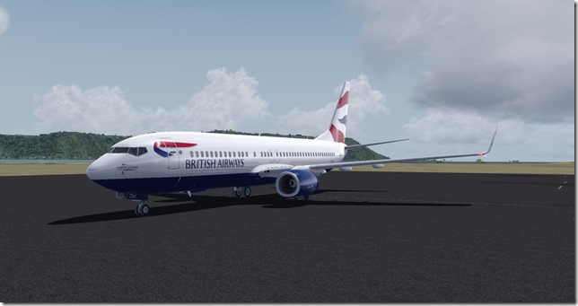
With no time to waste, we’re off and away.
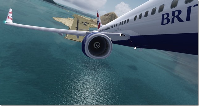
Taking one last look of the island before making our turn to join the departure.
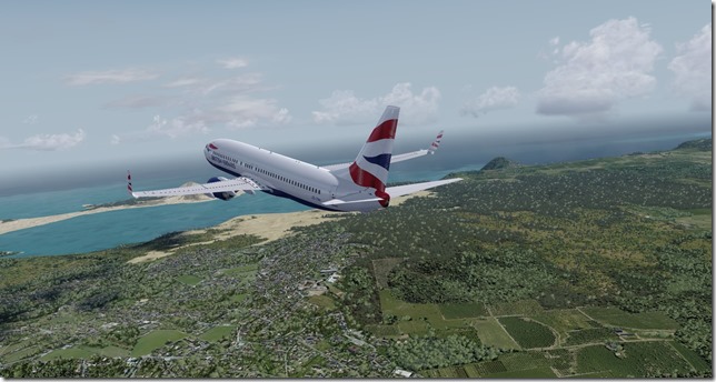
OK…I lied. Really…just one more “last” look at the island across the wing of the B738.
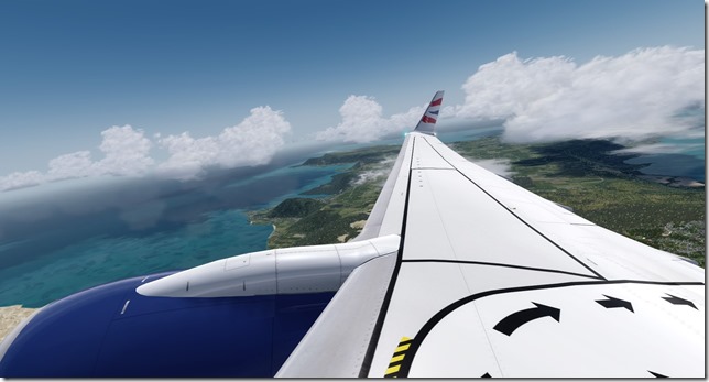
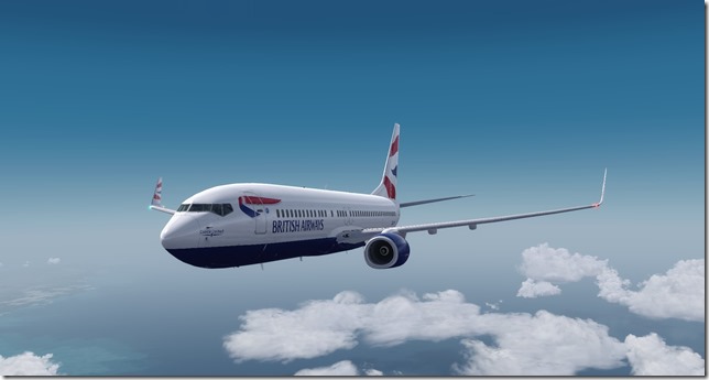
Our “livery” shot. Other than the fact that British Airways no longer operates the Boeing 737 (in any variant), the only differing markings I can spot is the Comair United logo on the front of the aircraft.
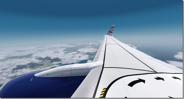
Just off the starboard side, the coastline of Africa.
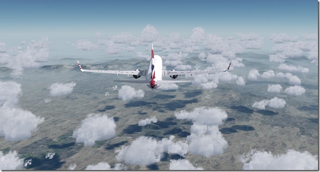
Over land once again. Just a few more miles until we reach top of descent.
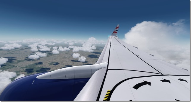
Another wing view as the clouds begin to develop.
Airport just ahead as we take the visual approach for runway 21L.
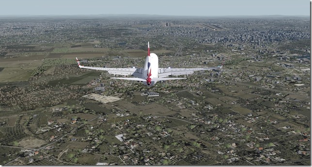
One last wing view of the Joburg area.
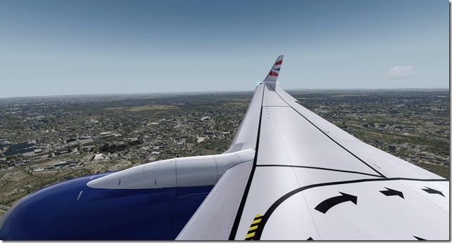
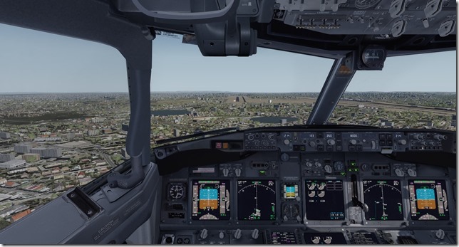
Short final for runway 21L.
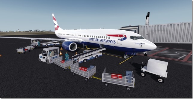
After what seemed like a really long taxi (after all, this is the largest airport we’ve visited in a long time), we’re parked up at the gate and the Comair ground crew are doing a great job getting our aircraft unloaded.
After clearing customs, our travelers and crew will board a bus for the quick ride to the hotel and then dinner. We’ll explore the Johannesburg area for the next few days before departing to Cape Town where they’ll spend several more days exploring that area as well.
Simulator Specifics
Prepar3d v4.3
ActiveSky Weather Engine
ActiveSky Cloud Art
Envtex & Envshade
PMDG 737-800 (Comair Airlines livery)
Orbx Global Texture
VATSIM
Route Planning Tools
AivlaSoft PFPX
Navigraph Charts Desktop
FlightAware
FlightRadar24
SkyVector
Google Maps
Computer Hardware Specs
I hope everyone’s enjoying the blog postings, the tour and the variety of aircraft/liveries I’m presenting. Up to this point it’s been a fun tour for me as I’ve learned a lot about the areas we’ve visited in my research for the story line. Time to get busy planning the next leg of the tour. Thanks again for reading.
Until next time…Happy Touring!
Jerry
July 14, 2018 / admin / 0 Comments
If you also follow along with my Discord channel, you know I mentioned just before the US Independence Day holiday that my wife had surprised me with a get-a-way to the mountains. This was in celebration of our 11th wedding anniversary. The few weeks leading up to the holiday were hectic both with work and at home. We had a few home repair issues to deal with and I had two work related trips in June that were hectic and stressful. July is no different from the work side of things. But as we’re back from the mountains, it’s time to do a little flying and resume where we left off with our tour.
As we begin our 10th leg of this 46 leg journey, we now have two different Airbus airframes we can use. I’ll mix in the A320 and the smaller A319 from time to time as we continue to also fly Boeing aircraft as well. While I feel most comfortable in Boeing equipment, I’m starting to gain a better appreciation for the Airbus. This leg we’ll be flying the Airbus A320.
History of City
Dzaoudzi (don’t even ask me how this would be pronounced) is a commune in the French overseas department of Mayotte in the Indian Ocean and is located on the small island of Petite-Terre. The commune once held the recognition as being the capital city of Mayotte, but in 1977 the capital was moved to Mamoudzou on the island of Grande-Terre. The commune is the home to 14,311 people (as of the 2012 Census)
History of Country
Mayotte consists of one main island, Grande-Terre, a smaller island, Petite-Terre and several islets around these two. The area of Mayotte is approx. 144 square miles and has a population of 256,518 as of the 2017 Census. While Mayotte is an integral part of France, the majority of the inhabitants do not speak French as a first language.
History of Airport
Dzaoudzi-Pamandzi International Airport is located in the commune of Dzaoudzi. It is the only airport in Mayotte with scheduled services, mainly to destinations within Africa and to metropolitan France. The airport currently can service aircraft up the Boeing 777 size. A new runway (15/33) to the west of the current runway is being planned and will be 2,600 meters in length to accommodate aircraft such as the Boeing 747 and the Airbus A380.
History of Airline
Air Mauritius is the flag carrier airline of Mauritius. The airline is the 4th largest carrier in Sub-Saharan Africa and has an important standing in the European, African and Indian Ocean regional markets.
Flight Briefing
SEY1066
FIMP – FMCZ
Planned Fuel – 23,500
Planned Altitude – 36,000
Distance – 846
Flight Time: 2hr, 30min
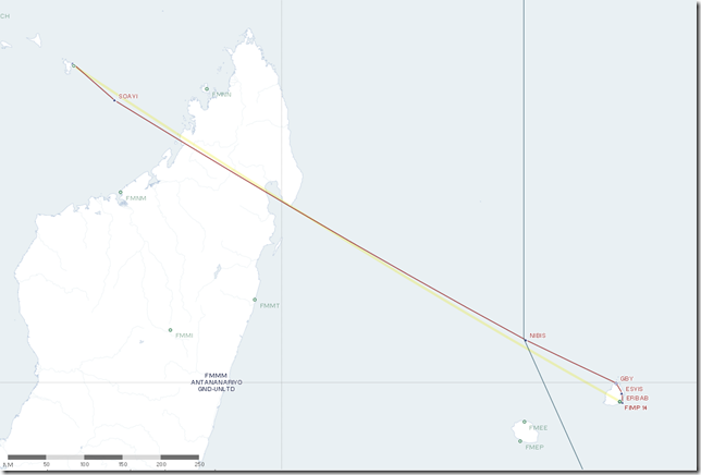
Route: NIBIS1 NIBIS SOAVI
Flight Journal
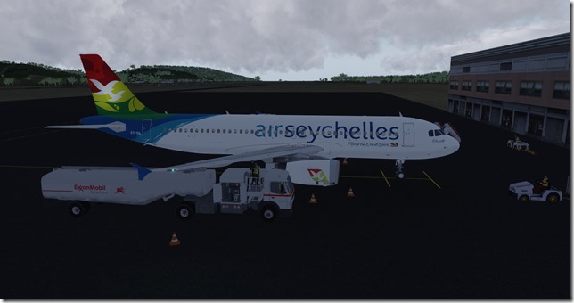
After a couple of relaxing days in Mauritius, once again it’s time for our travelers to depart on the next leg of the long, around the world journey. We’re picking up a brand new Airbus A320 which had been ferried to Mauritius from the Airbus factory in Tianjin, China. Yes, it still has that “new” airplane smell to it. This is an early morning departure and hopefully we’ll get out before the storms open up. In the photo below, our Airbus A320 is being fueled for the journey. The new update to GSX and the features of the FSLabs A320 handle fueling automagically with nice eyecandy to watch.
Our passengers have just arrived by bus and will immediately board the awaiting A320.
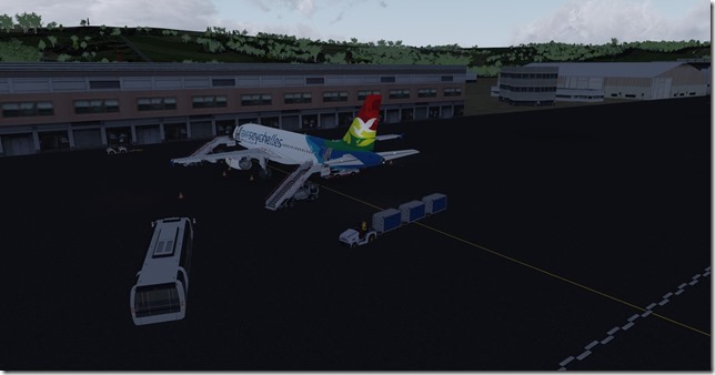
We can’t push-back until the last of the bags have been loaded.
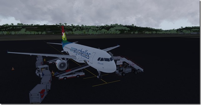
Finally, the last bag was loaded (I believe that was mine) and now the ground crew will push us back while I begin the engine start procedure of the Airbus A320.
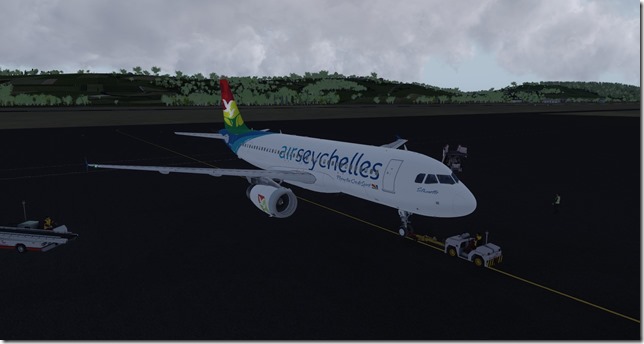
Small airports mean short taxi distances. Looks like the sun might just burn off these clouds after all. We’re ready to go on runway 14.
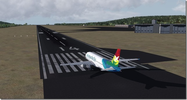
The FSLabs A320 is a joy to hand fly. I’ve found the learning curve to be just slightly more difficult than the PMDG 737. But then again, I have spent the majority of my simming time flying Boeing aircraft. So learning the Airbus ways of doing things is similar to learning a second language.
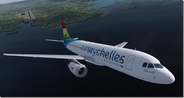
The A320 offers two different types of engine variants. This particular aircraft uses the IAE (International Aero Engines) V2500 and they are doing an excellent job.
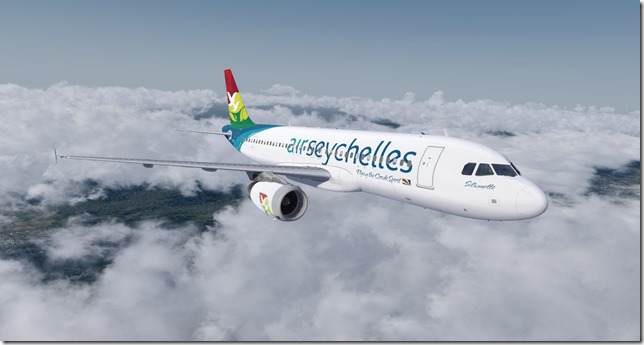
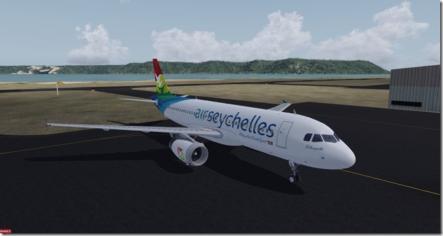
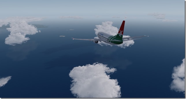
The beautiful Air Seychelles livery looks amazing on the A320.
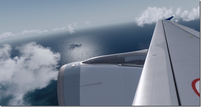
Another wing shot as we fly over Madagascar. I wonder how those Penguins are fairing?
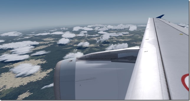
Another view of the coastline of Madagascar as we’re beginning our descent. Not much longer to go.
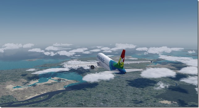
Just off the portside, we see a smaller island with a mountain and the main island mentioned earlier. The smaller island (one with the mountain) contains the airport. Our approach will take us around that smaller island.
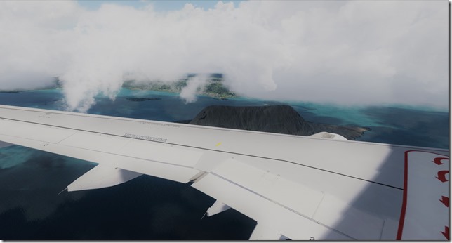
The view from the captains seat of the larger island.
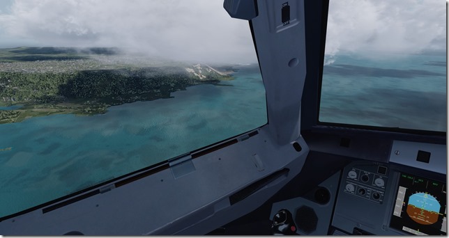
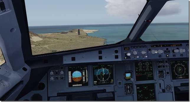
Our turn to final is coming up very soon. Note the PAPI lights of the airport behind us.
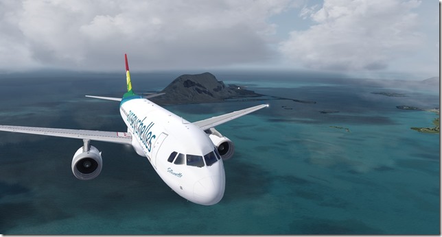
Again, the FSLabs A320 is a joy to hand fly. Admittedly, I rolled out of that turn just a bit low. But no worries, there’s nothing but water under us and we’ll be just fine.
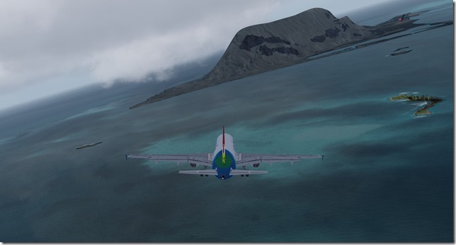
Two reds, two whites…we’re alright.
On the ground and it looks like it will be an awesome day.
Simulator Specifics
Prepar3d v4.3
ActiveSky Weather Engine
ActiveSky Cloud Art
Envtex & Envshade
Flight Sim Labs A320 (Air Seychelles livery)
Orbx Global Texture
VATSIM
Route Planning Tools
AivlaSoft PFPX
Navigraph Charts Desktop
FlightAware
FlightRadar24
SkyVector
Google Maps
Computer Hardware Specs
Our travelers will depart the smaller island later today by ferry to the larger island where their hotel awaits them. A few days here, then we’ll depart and travel the 1200nm’s to O. R. Tambo International Airport in South Africa. Since departing from Broom, Australia…we’ve been hopping from one island to another. The next half dozen legs will keep us on the African continent as we begin our eventual northern journey up the western coast of Africa and into Europe.
Until next time….
Jerry
July 11, 2018 / admin / 0 Comments
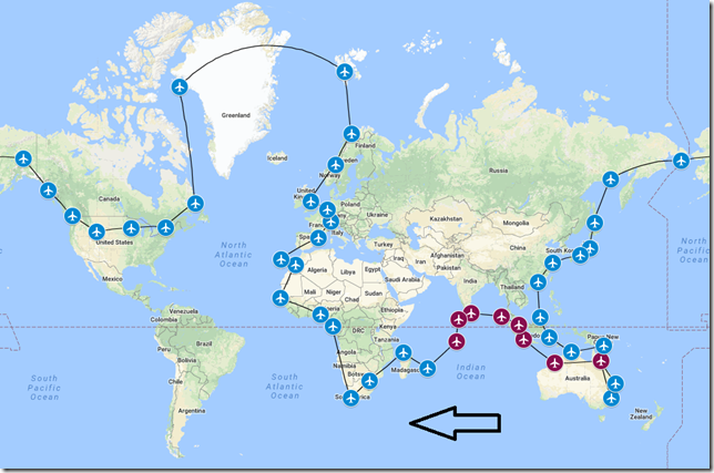
Moving right along with our WorldFlight 2018 tour, as mentioned in the leg 8 update, our wealthy (and very lucky) tourists were only able to spend a few hours exploring the island of Diego Garcia. The tour was conducted by US DOD (Dept. of Defense) officials and unfortunately no photographs were permitted during the tour. But once again we were provided photos of our aircraft for the purpose of this update. But as you can see from the updated tour map below, we are just a few hops away from reaching the shores of the African Continent and I believe we’re making great progress. I would just like to remind all of my readers why I’m doing this tour. If you refer back to the article I wrote back in early June, I explained who was behind the WorldFlight organization and the purpose of that annual event. It truly is a great cause and the event is fun to watch. Stay tuned for future news and updates regarding the event for 2018 which is scheduled to take place in November.
Also, just to note. Between leg #8 and this leg #9, an update to Prepar3D v4 was released. I’m now running Prepar3d v4.3. The upgrade was very smooth and the benefits are slightly better performance. If you haven’t updated your P3D to v4.3 and would like to do so, I wrote a step-by-step guide which should help you complete the update with as little headaches as possible.
History of City
Plaine Magnien is a village in southeast Mauritius located in the Grand Port District. According to the 2011 census, the population is just under 10,500. The village is the location of the only airport on the island.
History of Country
Mauritius is an island nation in the Indian Ocean located approx. 1,200 miles off the southeast coast of Africa. Formerly founded by the Dutch in 1638, then the French maintained a colony between 1715 – 1810, Mauritius became a British colonial possession in 1810 and remained so until 1968. Mauritius is a major tourist destination and ranks 3rd in the region and 56th in the world. The tropical climate, clear warm sea waters, beaches flora and fauna make it a favorite destination for some. And if you’ve ever heard of the Dodo bird, this now extinct bird called Mauritius home until the last one was killed in 1681.
History of Airport
Sir Seewoosagur Ramgoolam International Airport, FIMP is the main international airport in Mauritius. The airport is located 26 nm from the capital city of Port Louis. The airport has direct flights to several destinations in Africa, Asia, Europe and is home to the country’s national airline Air Mauritius. The airport has one runway (14/32) measuring 11,056 ft in length and the airport terminal can handle aircraft as large as the Airbus A380.
History of Airline
Air Mauritius is the flag carrier airline of Mauritius. The airline is the 4th largest carrier in Sub-Saharan Africa and has an important standing in the European, African and Indian Ocean regional markets.
Flight Briefing
SEY1066
FJDG – FIMP
Planned Fuel – 24,800 lbs
Planned Altitude – 38,000
Distance – 1162nm
Flight Time – 2hrs, 50mins
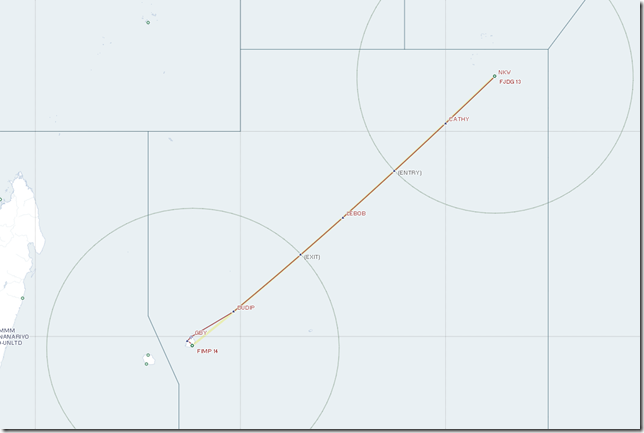
Route: NKW R329 DUDIP GBY1
Flight Journal
What a wonderful and very lucky experience our travelers had on the island of Diego Garcia. While this entire trip could be summed up as “Once in a Lifetime”, the opportunity to visit a place almost a secure as Area 51 can only be described as “Once in a Lifetime”. We only had a few hours to visit and as previously stated, we were under the watchful eye of the US DOD the entire time. Our JANET airlines B737-600 departed out of FJDG shortly after we arrived headed to points unknown. Fortunately all our bags and other supplies were loaded onto another Boeing 737-700 which was an older, retired Air Seychelles aircraft which had arrived a few days ago under “mysterious” circumstances. I asked one of our handlers what happened to the passengers and crew, he politely said…”DON’T ASK”! So I just zipped my lips and went on about my business.
Once all our passengers were safely on board the Air Seychelles B737, we were immediately given our clearance and instructed to depart without haste. I really don’t think this means we out stayed our welcome, just perhaps we had too many eyes which could witness something they didn’t want us to witness.
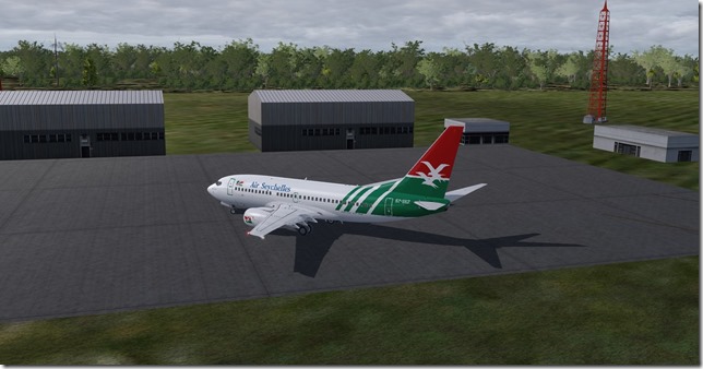
A very quick taxi to runway 13 (how fitting) and it was time to kick the tires and light the fires once again and get this bird in the air.
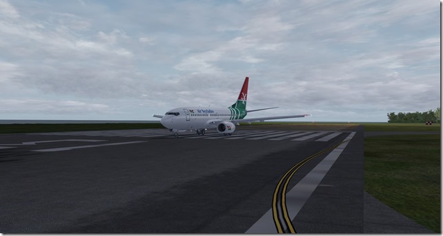
The runway on the island of Diego Garcia as we climb out.
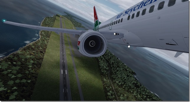
Our departure couldn’t have come at a better time as weather was starting to move in.
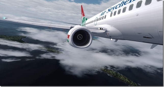
Clouds have somewhat been a theme for this adventure. But then again we are in the tropical regions of the world.
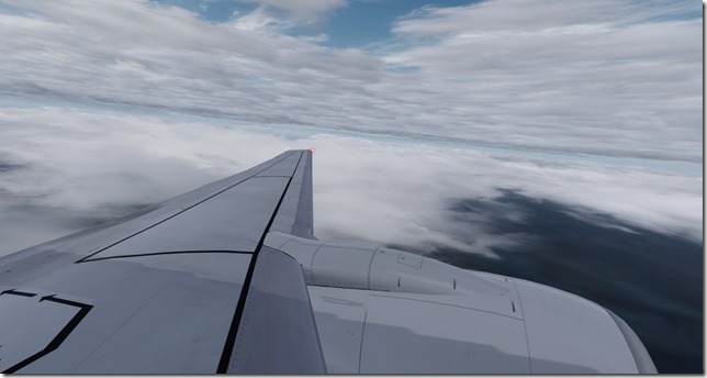
Nice views
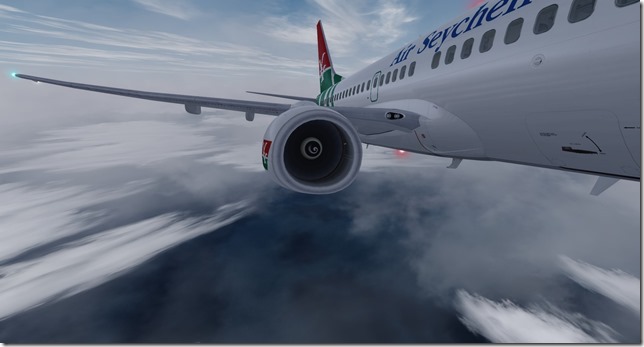
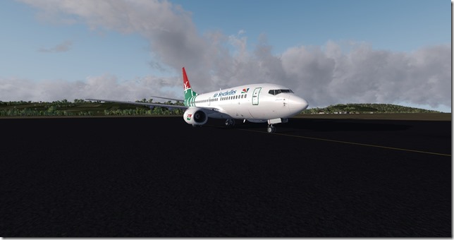
The Air Seychelles Boeing 737-700 (retired).
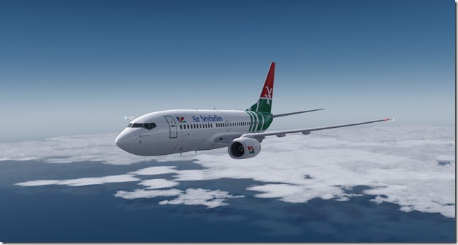
We’ve managed to leave the clouds behind (for now)
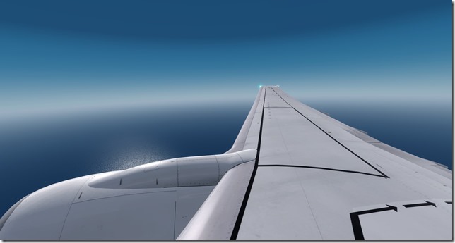
As I said, for now. LOL The clouds have returned just in time for our arrival into Mauritius.
Speed brakes deployed to help slow our descent.
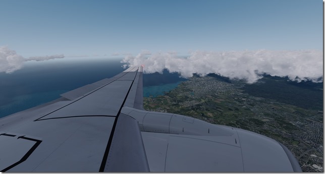
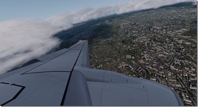
You may have noted the lack of winglets on this aircraft. Nice views as we get closer to our destination.
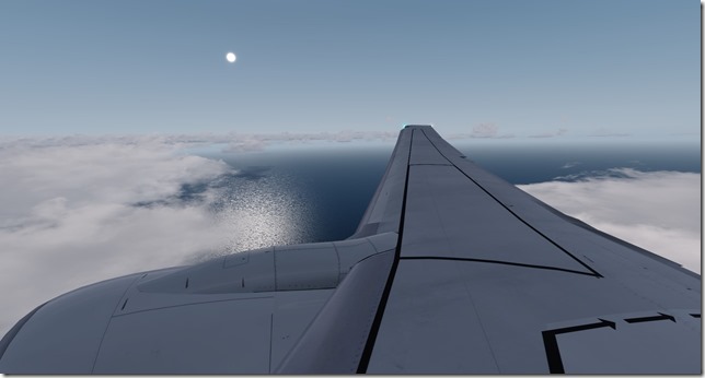
A few afternoon storms are expected and we’ve asked ATC to vector us around a few strong cells. But we’re still on-time for our arrival.
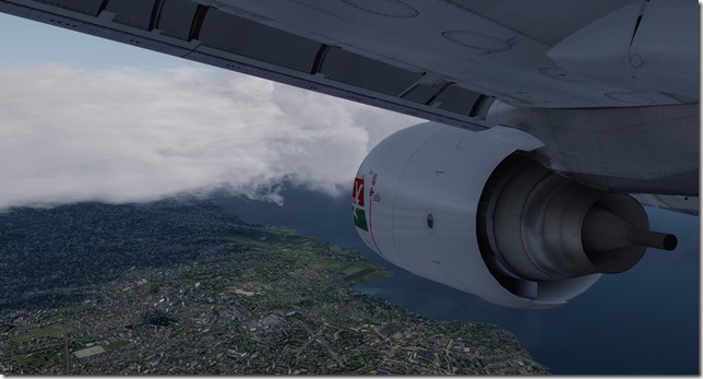
Looks to be a thriving place down there.
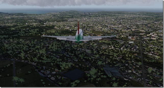
On final approach.
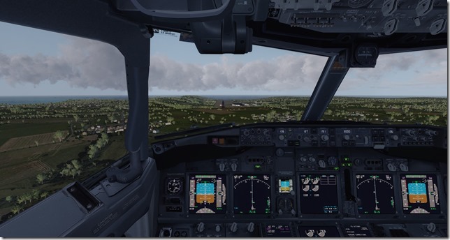
It’s been a bit of a long day for everyone. We’ll be glad to spend a few days exploring this area.
Our Boeing 737 parked up. Not sure what this old girl has in store for her.
Simulator Specifics
Prepar3d v4.3
ActiveSky Weather Engine
ActiveSky Cloud Art
Envtex & Envshade
PMDG 737-700 Expansion (Air Seychelles livery)
Orbx Global Texture
VATSIM
Route Planning Tools
AivlaSoft PFPX
Navigraph Charts Desktop
FlightAware
FlightRadar24
SkyVector
Google Maps
Computer Hardware Specs
We’re due to stay here for a few days before departing to our next destination of Dzaoudzi, Mayotte, France.
Until next time…Happy Flying!
Jerry
July 7, 2018 / admin / 0 Comments
I hope you enjoyed the information I passed along during the update for leg 7. Just as a point of reference, before beginning leg 8 we have 18 hours, and 20 minutes of flying time logged on this tour. We’ve traveled 5,965 miles and burned just over 99,000 pounds of fuel since we left Sydney, Australia on 2 June. Once again this flight will take us south of the equator.
You may also remember I told you that not all flights operated during the course of this WorldFlight 2018 tour will be 100% accurate. From time to time I may take some artistic license and go fully fictional in what I choose to fly. As you’ll soon learn by reading more about our next destination, commercial flights simply do not operate into this airport. While this airport may be used as an ETOPS (Extended Range Twin Engine Operations) emergency landing site (this will explain our flight for Leg 9), non-military/government flights do not operate here. But more about this later in the article.

History of City
Diego Garcia is an atoll just south of the equator in the central Indian Ocean and the largest of 60 small islands comprising the Chagos Archipelago. Settled by the French in the 1790’s and was transferred to British rule after the Napoleonic wars. Diego Garcia was initially one of the dependencies of the British Colony of Mauritius until it was detached in the newly created British Indian Ocean Territory (BIOT) in 1965.
Between the years 1968 and 1973, the native population was forcibly removed by the United Kingdom and the United States to establish an American military base. As of March 2015, Diego Garcia is the only inhabited island of the BIOT, the population is composed of military personal and supporting contractor agencies.
History of Country
The British Indian Ocean Territory (BIOT) is a British overseas territory of the United Kingdom situated in the Indian Ocean halfway between Tanzania and Indonesia. The territory consists of seven atolls of the Chagos Archipelago with over 1000 individual islands amounting to a land area of just 23 sq. miles.
History of Airport
The airport located on the island of Diego Garcia is under the operation/control of both the governments of the United Kingdom and the United States. While no commercial airlines operate into or out of Diego Garcia, the airport may be identified as an ETOPS (Extended Range Twin Engine Operations) emergency landing site or an en route alternate for flight planning purposes for commercial airliners. ETOPS allows for twin engine commercial aircraft (Airbus A330, Boeing 767, Boeing 777 or Boeing 787) to make theoretical nonstop flights between city pairs such as Perth to Dubai, Hong Kong to Johannesburg all while maintaining a suitable diversion airport within 180 minutes of flying time with one engine being inoperable. The airport also served as one of 33 emergency landing sites for the NASA Space Shuttle program.
Many conspiracy theorists suggest that Malaysia Airlines Flight 370 which disappeared on March 8, 2014 after departing from Kuala Lumpur for Beijing was flown to Diego Garcia.
History of Airline
If you’ve been to Las Vegas, you may have seen several white Boeing 737-600’s with a red stripe flying into or out of McCarran International Airport. These US Government operated aircraft, shuttle employees from Las Vegas out to the Nevada National Security Site (Area 51) and to the Tonopah Test Range Airport (KTNX) also known as Area 52. The airline name JANET, is derived from Just Another Non-Existent Terminal or Joint Air Network Employee Transportation. Janet flights operate under the ICAO airline code of WWW and flights can often be tracked on websites such as FlightAware.
Flight Briefing
WWW1066
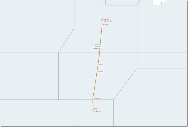
VRMM – FJDG
Planned Fuel – 22,000 lbs
Planned Altitude – 36,000
Distance – 690nm
Flight Time – 2hrs
Route: A4D ATISA R329 MOMMA DCT NKW
Flight Journal
Until just before departure, our travelers believed we were flying direct to Plaisance, Mauritius. However, we have an incredible opportunity to spend a few hours touring Diego Garcia. One of our travelers, knows someone who knows someone else connected with the island and assisted in arranging for this brief stop and tour. And just to add a little touch of mystery to the day, we’re flying one of the Boeing 737-600 JANET airlines which the US Government needed shuttled out to the island. NOTE: The JANET airlines aircraft do not operate in this part of the world, but just to mix things up this is the story I’m going with. Enjoy.
Our passengers have boarded and we’re all buttoned up and ready for push-back. We’ve been instructed to tanker out additional fuel in the slight chance we’re unable to land at Diego Garcia.
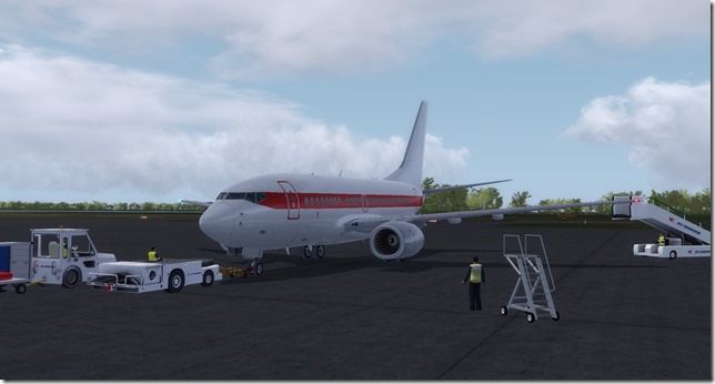
Making the turn to line up and wait for departure on runway 18.
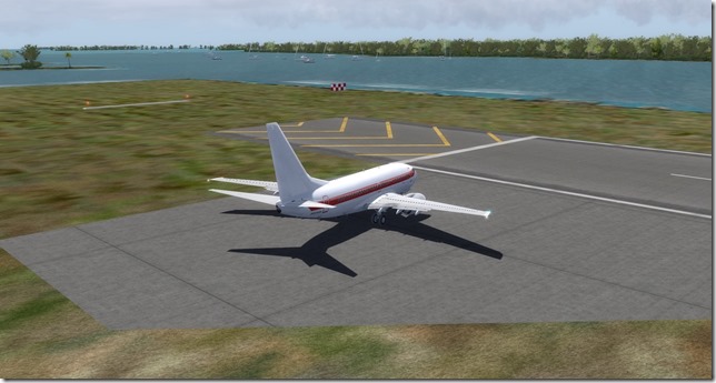
Positive rate, gear up.
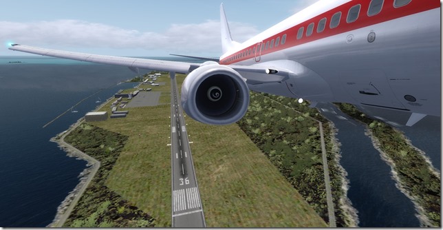
A wing shot as we climb to our cruising altitude of 36,000.
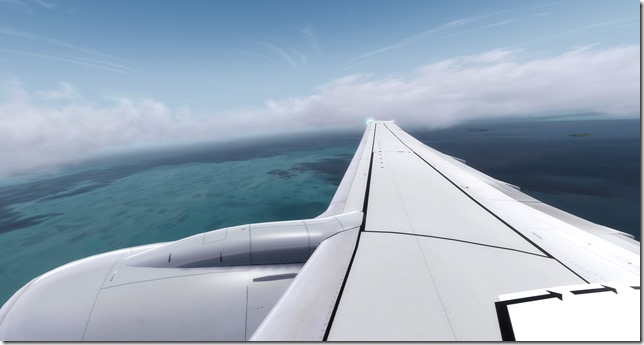
Just making the announcement about our brief stop-over. I can hear the clapping and excitement of our lucky travelers from the flight deck.
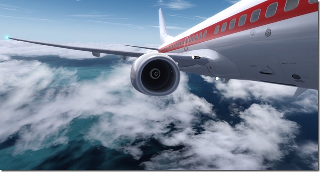
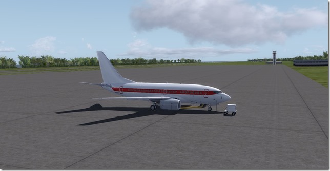
The JANET airlines livery on the PMDG Boeing 737-600. Just a reminder, JANET airlines do not operate in this part of the world that I’m aware of.
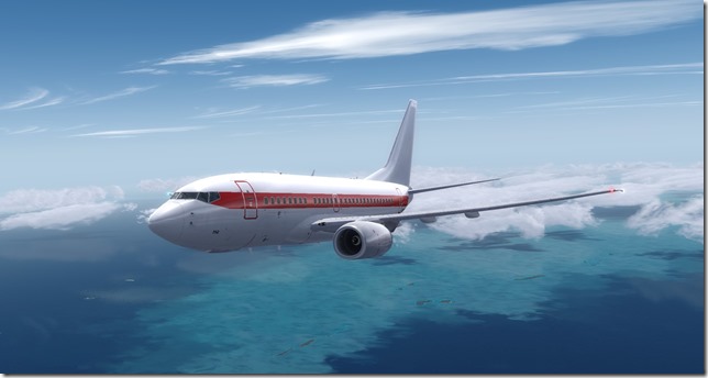
The island of Diego Garcia just off the starboard side.
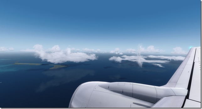
The water looks amazing.
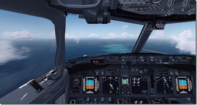
Our island runway
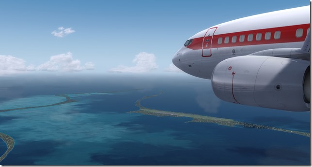
Making our turn to join the visual approach for runway 31.
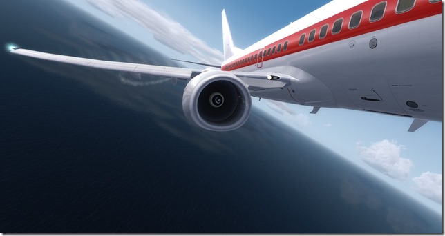
Interesting island
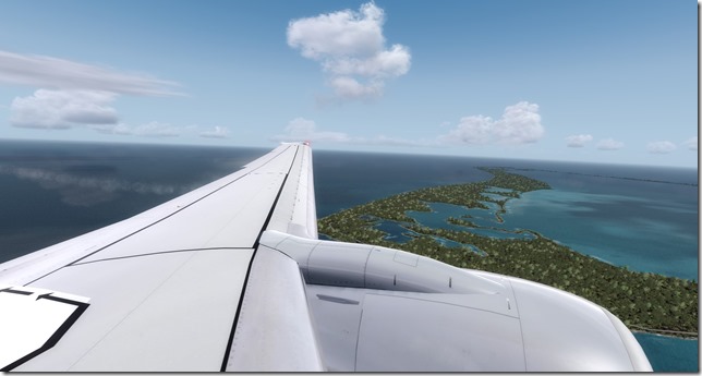
We’ll be on the ground shortly
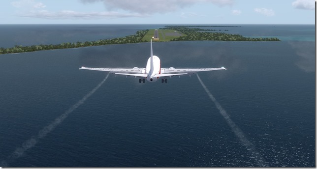
Short final into Diego Garcia
Photography is strictly prohibited on Diego Garcia. The US DOD will provide the exterior photos to document our brief stay on the island.
Simulator Specifics
Prepar3d v4.2
ActiveSky Weather Engine
ActiveSky Cloud Art
Envtex & Envshade
PMDG 737-600 Expansion (Janet Airlines livery)
Orbx Global Texture
VATSIM
Route Planning Tools
AivlaSoft PFPX
Navigraph Charts Desktop
FlightAware
FlightRadar24
SkyVector
Google Maps
Computer Hardware Specs
Our stay on Diego Garcia will be short. In approx. 3 hours we’ll depart in a retired Air Seychelles Boeing 737 for Mauritius where our travelers will spend a few days exploring and doing all the things tourists tend to do.
Until next time…Happy Flying!
Jerry
July 4, 2018 / admin / 2 Comments
As I had mentioned in the tour introduction posting I wrote before starting the 2018 version of the WorldFlight tour, I’ve circumnavigated around the world many times. I’ve done it in big and fast aircraft and I’ve done it in small and slow aircraft. I’ve done it with many legs (much like this tour) and I’ve done it in as few as 3-4 legs utilizing aircraft like the Boeing 747 and Boeing 777. Back in the FS9 days (when FS9 had the default Concorde) I went around the world (northern hemisphere) in 3-4 legs (can’t remember exactly) but did it at supersonic speed. That was cool. While the flights I conducted in only 3-4 legs were fun, I certainly learn a lot more when visiting more locations and especially taking the time to research some of the destinations.
In thinking back to some of my earlier “round the world” adventures, it got me thinking about just how much time it would take to go around the world if there was no need to stop to fuel (or mid-air refueling could be performed). So I asked Dr. Google and this is what I found out…
Cessna 172 – 132.7 hours.
Boeing 747-400 – 41.96 hours
General Dynamics F-16 Fighting Falcon – 18.9 hours
Lockheed SR-71 Blackbird – 11.3 hours
Richard Branson’s Virgin Galactic SpaceShipTwo – 10 hours
International Space Station – 2.27 hours
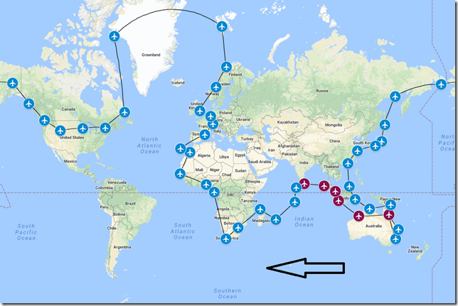
Interesting stuff and hopefully you also find these sort of facts interesting as well. Enough of this, let’s get on with the tour. As you can see from the updated tour map (below), the first six legs have primarily been making our way northwest. We’re now turning and headed southwest and will soon dip back below the equator.
History of City
Male is the capital and most populous city in the Republic of Maldives and has a population of approx.. 133,000 and an area of 2.2 sq. miles making it one of the most densely populated cities in the world. The city is geographically located at the southern edge of North Male Atoll and consists of a central island, an airport island and two other islands under control by the Male City Council.
History of Country
The Maldives, officially known as the Republic of Maldives, is a South Asian sovereign state, located in the Indian Ocean and lies southwest of Sri Lanka and India. The Maldives is one of the worlds most geographically dispersed countries consisting of a chain of 26 atolls spanning approx. 115 sq. miles.
History of Airport
Velana International Airport, also known as Male International Airport is the main international airport in the Maldives. It is located on Hulhule Island in the North Male Atoll and nearby the capital city/island of Male. The airport first began operations in 1960 with the first runway being constructed of slotted steel sheets measuring a length of just 3,000 ft. As tourism increased in the early 70’s, the airport was further upgraded to handle the volume. Today, the main asphalt runway measures 10,499 feet and routinely handles aircraft up to the Boeing 777.
History of Airline
China Eastern Airlines is a major Chinese airline operating international, domestic and regional routes and is the second largest carrier by passenger numbers in China. The airline was established in 1988 and currently operates 496 aircraft. China Eastern typically operates a Boeing 737 between VCBI and VRMM.
Flight Briefing
CES1066
VCBI – VRMM
Planned Fuel – 13,500
Planned Altitude – 38,000
Distance – 420
Flight Time: 1hr, 35min
Route: BASU2D BASUR P570 TVM R457 MUGBA M3B
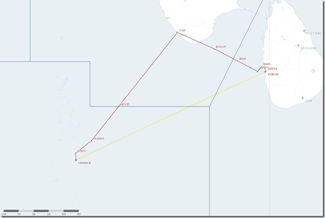
Flight Journal
The visit to Sri Lanka, while enjoyable….most days consisted of rain, more rain with short breaks from the rain where the sun would come out and the humidity would soar, then it would rain again. I believe our travelers are weary from the heat and humidity and ready for a break. But as I’ve shared with them, the next few legs will mostly be much of the same. Perhaps a brief break from the damp, sticky climate will come once we reach South Africa. But even that will only be brief.
For this leg of our journey, we will be flying a China Eastern Boeing 737-700. China Eastern operates flights between these two airports in the real world, so I felt it only right to do the same in our virtual tour. Our passengers have arrived for a very wet, late afternoon departure.
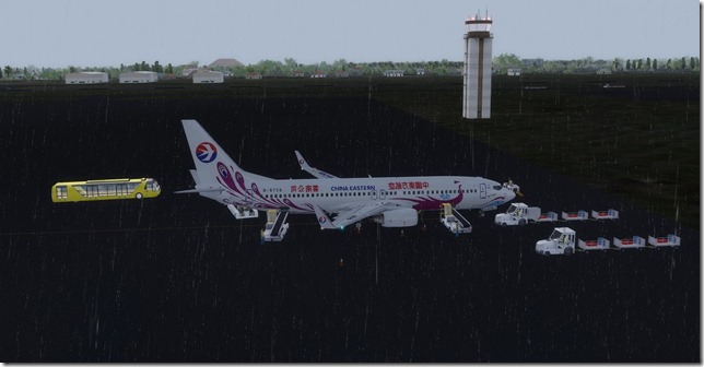
We can’t depart until all the luggage has been loaded and the ground crew is working extra hard on this wet day to ensure an on-time departure.
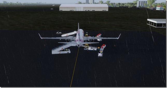
With the doors securely closed and locked, it’s time to pushback this Boeing 737-700 for the trip.
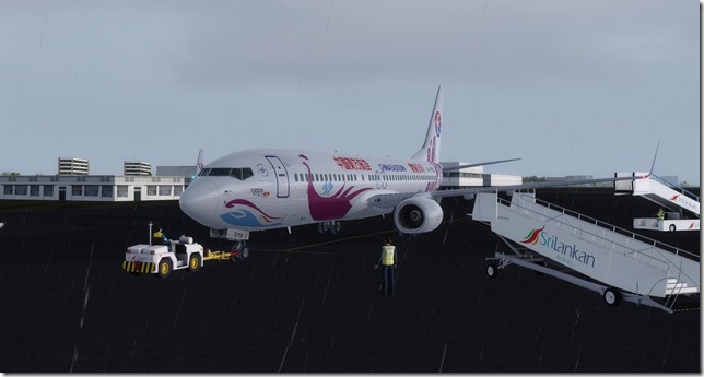
Position and Hold on runway 04. We’re ready to go…
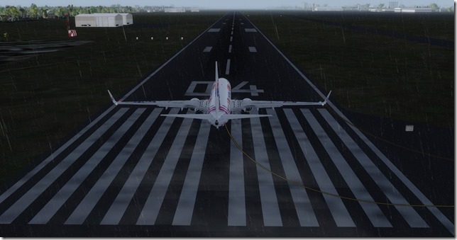
Up and away.
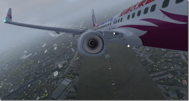
We may eventually find some sunshine…somewhere.
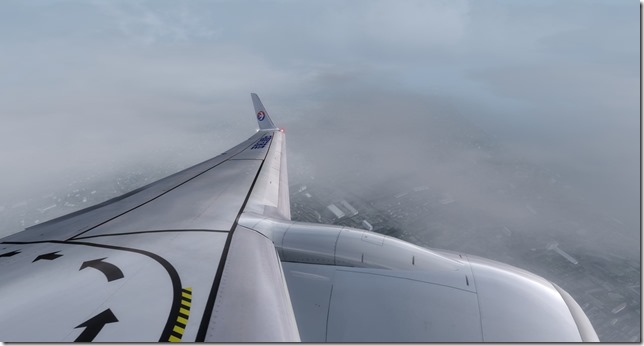
Ahhhh, there we go. Clear skies and sunshine as we cruise at 38,000 feet.
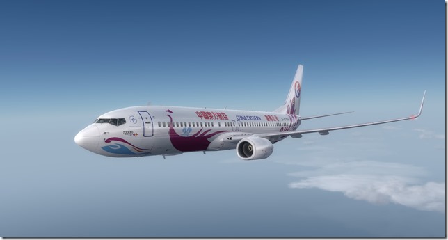
As previously mentioned, our departure out of Sri Lanka was in the late afternoon and the sun is beginning to sink into the Indian Ocean.
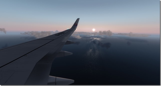
A beautiful view as we descend into our destination.
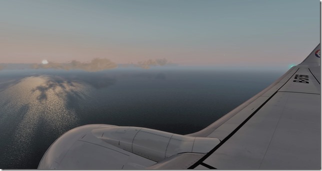
The view from the flight deck.
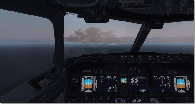
One more wing view as the sun has just about disappeared.
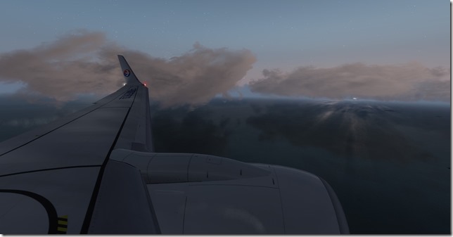
We quite a strong cross-wind for our approach into Male.
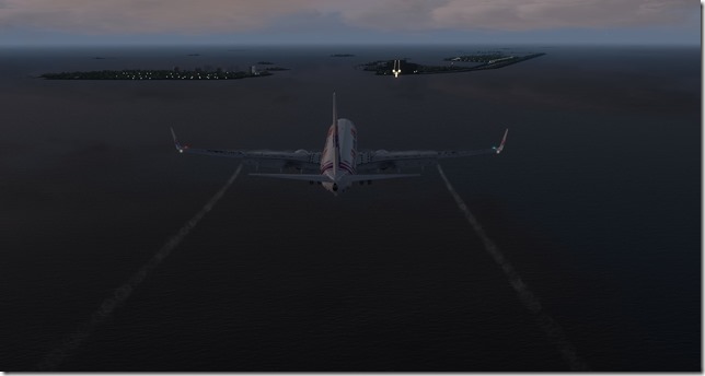
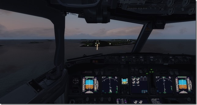
On short final, we’ll be on the ground shortly.
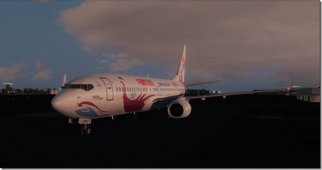
On the ground at Male International Airport just before darkness sets in.
Simulator Specifics
Prepar3d v4.2
ActiveSky Weather Engine
ActiveSky Cloud Art
Envtex & Envshade
PMDG 737-700 (China Eastern livery)
Orbx Global Texture
VATSIM
Route Planning Tools
AivlaSoft PFPX
Navigraph Charts Desktop
FlightAware
FlightRadar24
SkyVector
Google Maps
Computer Hardware Specs
Our travelers will spend two days in Male before our next flight. I certainly hope you’re enjoying following along with the journey and learning a few things along the way. I’ll see you right back here for the next leg.
Until next time…
Jerry
June 30, 2018 / admin / 0 Comments
After a four day business trip and visit from my parents, it’s great to get back into the sim and resume our WorldFlight tour around the world. I had to spend just a bit of time reading the past trip reports to bring myself up to speed on where we left off and what leg was next up.
The magenta dots are slowly but surely starting to take numbers on our world map. But we still have a lot of ground (and water) to cover before this tour is complete. So let’s stop talking, and start flying.
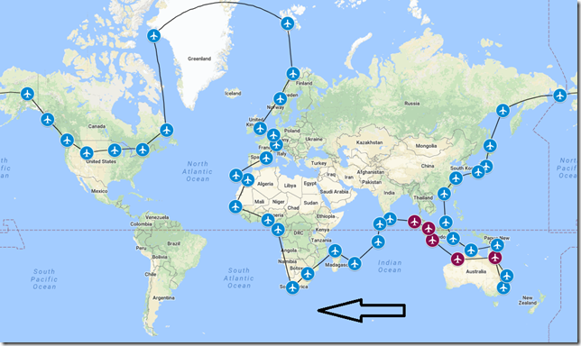
An updated version of our tour map showing the five previous stops.
History of City
Colombo is the commercial capital and largest city in Sri Lanka. Known for its natural harbor, Indian, Greek, Persian, Roman, Arab and Chinese traders have been visiting this area for over 2000 years. The metro area of Colombo has a population of over 5.6 million with 752,993 in the city proper.
History of Country
The pre-history of Sri Lanka goes back 125,000 years and possibly even as far back as 500,000 years. Today the island is home to many cultures, languages and ethnicities. The majority of the population is from the Sinhalese ethnicity, while a large minority of Tamils have also played an influential role in the island’s history.
History of Airport
The Bandaranaike International Airport (also known as Colombo International Airport) is the main international airport serving Sri Lanka. It is named after former Prime Minister SWRD Bandaranaike and is located 20 miles from the commercial capital of Colombo. The airport began as a Royal Air Force airfield in 1944. Today the airport is more than capable of handling the world’s largest passenger jets including the Boeing 747 and the Airbus A380.
History of Airline
Garuda Indonesia is the national airline of Indonesia. Named after the holy bird Garuda of Hinduism from the national emblem of Indonesia, the airline is headquartered in Jakarta which we visited a few legs ago. The airline was founded in 1947 as KLM Interinsulair and commenced operations as Garuda Indonesian Airways in 1949. They have a fleet size of 142 aircraft consisting of 73 Boeing 737-800, 10 Boeing 777-300ER and 13 Airbus A330 to name just a few.
Flight Briefing
GIA1066
WITT – VCBI
Planned Fuel – 21,500 lbs
Planned Altitude – 34,000
Distance – 933nm
Flight Time – 3hrs
Route: ANSA1B ANSAX P574 DUBTA L645 SADRI N563 ADKIT T3 BEBOK A465 DABAR DABA1A
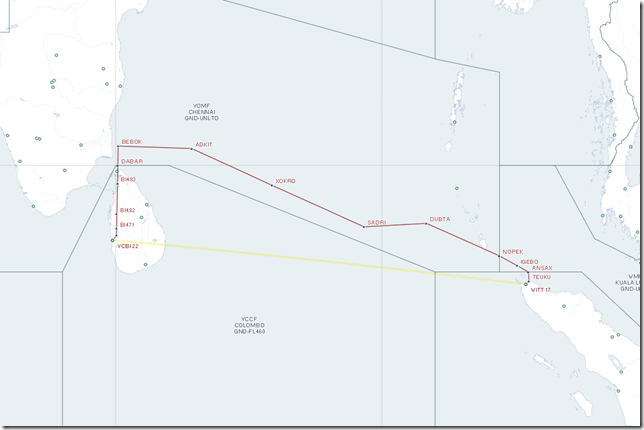
Flight Journal
We begin our flight today in the late afternoon. We’ll be serving light snacks and should reach Sri Lanka in the early evening with enough time for our travelers to have a nice dinner before heading to their hotel. We wasted no time in getting boarded and all loaded up for the flight. As the WITT airport is rather basic, I thought I would just cut to the chase and get us airborne.
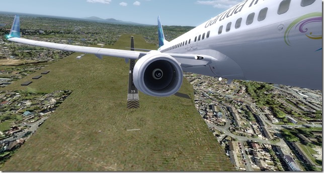
Hopefully you’re not getting bored with the 737. The fact of the matter is the Boeing 737 is a workhorse aircraft for so many airlines around the world, that it shouldn’t be uncommon for it to get a lot of rotations on our tour. Until the Aerosoft Airbus A319, A320 and A321 releases for Prepar3D v4, the B737 is our best option for short field operations.
Climbing out of WITT for FL340
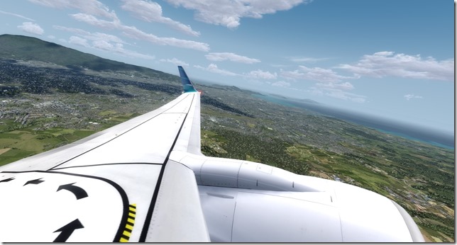
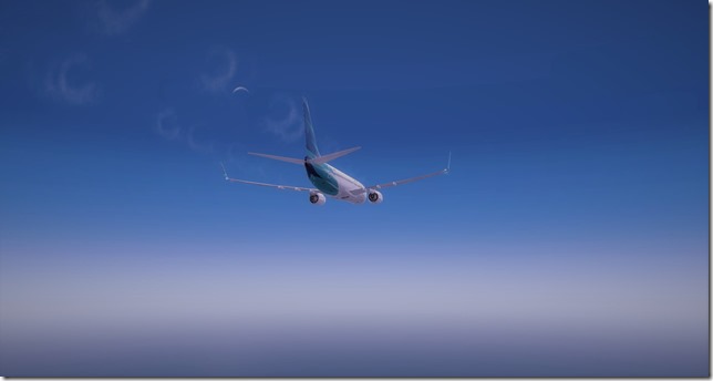
Spiral contrails from our Boeing 738 with the crescent moon visible.
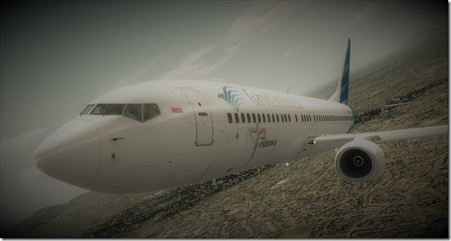
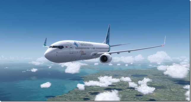
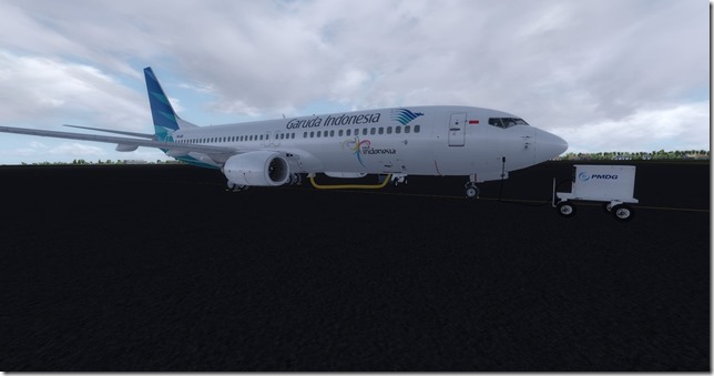
Another well done livery scheme
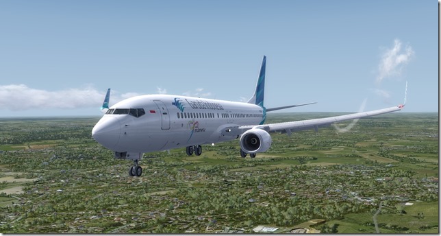
Our Garuda Indonesia Boeing 737-800 fully configured for landing at VCBI
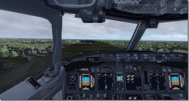
Another fairly basic default airport.
Down on the ground just before the afternoon thunderstorm rolls in. We’re fortunate to have the ground power and most importantly the ground AC unit. It’ll be another hot and sticky visit.
Simulator Specifics
Prepar3d v4.2
ActiveSky Weather Engine
ActiveSky Cloud Art
Envtex & Envshade
PMDG 737-800 (Tiger Airways livery)
Orbx Global Texture
Orbx Australia
Orbx Cairns Airport
Orbx Broome Airport
VATSIM
Route Planning Tools
AivlaSoft PFPX
Navigraph Charts Desktop
FlightAware
FlightRadar24
SkyVector
Google Maps
Computer Hardware Specs
As always, I truly appreciate you reading this trip report. I hope you are enjoying the tour and learning a little something along the way. I know I have.
Until next time…
Happy Flying!
Jerry
June 27, 2018 / admin / 0 Comments
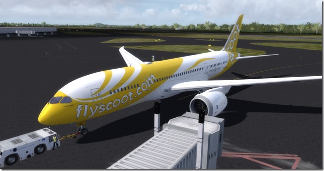
Our tourists are once again on the move. The time spent in Singapore was certainly not disappointing. Only time will tell just how historic of an event which also took place while our travelers were visiting Singapore. Without getting too deep in the political weeds, I’ll just say that anything positive will certainly be a great thing for not only the region…but the entire world. As mentioned during the last trip report, we will be flying this next leg in the beautiful QualityWings Boeing 787 Dreamliner. For this leg we’re flying the Scoot Tigerair Dreamliner. Scoot Tigerair (not to be confused with Australia’s TigerAir) is a low-cost airline from Singapore. More about that later.
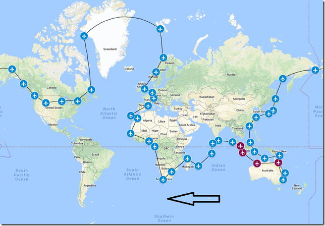
An updated version of our tour map.
History of City
The Sultan Iskandar Muda airport is located 13.5km southeast of the capital of Banda Aceh, in the province of Aceh, Indonesia. Banda Aceh is situated at the tip of Sumatra and has long been a strategic, transportation and trading hub in the eastern Indian Ocean. The first mention in western accounts comes from 1292 when Marco Polo and his expedition visited the city and noted as the logical first port of call for travelers from Arabia and India to Indonesia. On December, 26 2004 the city was hit by a tsunami which was caused by a 9.2 magnitude earthquake in the Indian Ocean. The disaster killed an estimated 167,000 inhabitants and destroyed more than 60% of the city’s buildings.
History of Country
The history of Indonesia has been shaped by its geographic location and consists of 17,000 – 18,000 islands of which 8,844 are named and 922 of these are permanently inhabited. Indonesia is positioned along the equator in South East Asia.
History of Airport
Sultan Iskandar Muda International Airport also known as Banda Aceh International Airport, is located 13.5km from the capital of Banda Aceh. It is named after the 12th sultan of Aceh, Iskandar Muda. The airport was built in 1943 by the Japanese Government and is currently the 23rd busiest airport in Indonesia.
History of Airline
Scoot Tigerair is a Singaporean low-cost, long-haul airline owned and operated by Singapore Airlines. It launched flights in 2012 on medium and long-haul routes from Singapore, predominantly to China and India. Initially, Scoot’s fleet consisted of Boeing 777 aircraft obtained from Singapore Airlines. The airline began to transition its fleet to Boeing 787 Dreamliner aircraft in 2015.
Flight Briefing
TGW1066
WSSS – WITT
Planned Fuel – 32,377 lbs.
Planned Altitude – 38,000
Distance – 571
Flight Time – 1hr, 50min
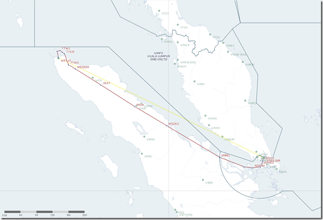
Route: ADMI3F ASUNA L762 MDN W12 JILAT JILA2D
Flight Journal
Once again it’s time for our travelers to head towards their next destination. Our next stop will once again have our travelers back in Indonesia, but this time on the northern side of the equator. Once again the clouds are building as this is pretty much the pattern in these locations. The ground crew in Singapore is getting the final cargo items loaded and soon we’ll pushback and taxi to the runway.
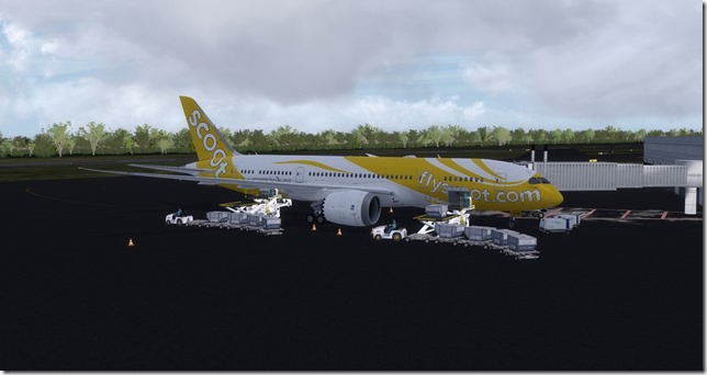
As Scoot is a subsidiary of Singapore Airlines, the Singapore airlines crew is helping with the ramp operations including pushback.
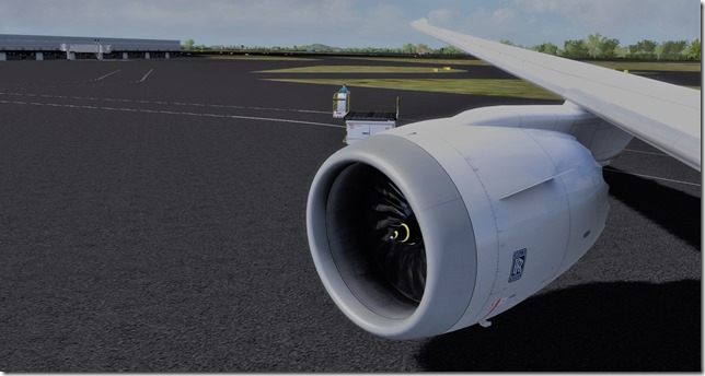
If you follow aviation news, you may know there are some major issues with the Rolls Royce Trent engines. However, in the virtual world…they work just fine.
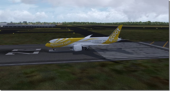
Lined up and waiting on runway 20C. The tires have been kicked, we’re just waiting to light the fires on these RR Trent engines and get the Dreamliner in the sky.
Just as the tag-line reads under the Captains window, it’s time to “Lickity Split”.
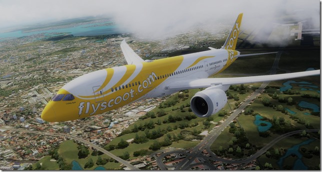
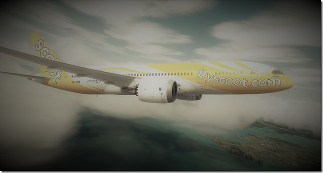
A little artistry “Dream like effect” for the beautiful Dreamliner.
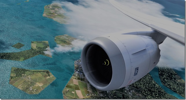
Rolls Royce Trent engines doing their thing…
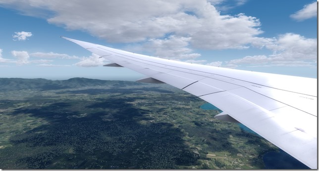
I love wing shots. The differences between the Boeing 777 and 787 vary little. The wingspan of the 787 is 197’.
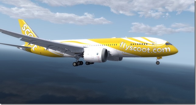
Fully configured for our landing this evening.
Short final into our very basic default P3D airport. Not a lot of eye candy.
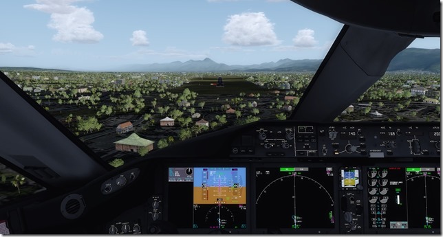
Parked and awaiting the ground crew. Another leg is safely and successfully in the books.
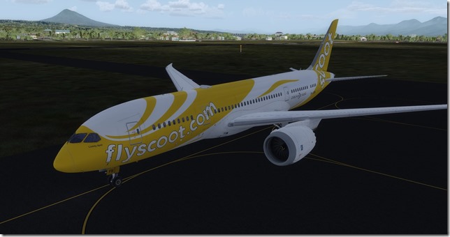
Simulator Specifics
Prepar3d v4.2
ActiveSky Weather Engine
ActiveSky Cloud Art
Envtex & Envshade
QualityWings 787 (Scoot Tigerair livery)
Orbx Global Texture
VATSIM
Route Planning Tools
AivlaSoft PFPX
Navigraph Charts Desktop
FlightAware
FlightRadar24
SkyVector
Google Maps
Computer Hardware Specs
Yes ladies and gentlemen, another successful and most importantly safe flight in the books. As I have some real-world travel of my own coming up, it will be a few days before I can sit down and fly the next leg. But when that time comes, we’ll be back in the Boeing 737-800. While I haven’t planned out the equipment for each leg of the tour, my guess is the 737 will end up being the most used aircraft for the tour. But I’ll do my best to keep it interesting. Thanks for reading.
Until next time…
Happy Travels
Jerry
June 16, 2018 / admin / 0 Comments
The WorldFlight 2018 tour is progressing along nicely and from all accounts our wealthy travelers are having the time of their lives. Not sure what they enjoy most, the variation in cultural differences or the cuisine. Perhaps both. I suppose if I were able to participate in something like this I would certainly make an effort to try the food (pending I actually knew exactly what it was). YOLO right?
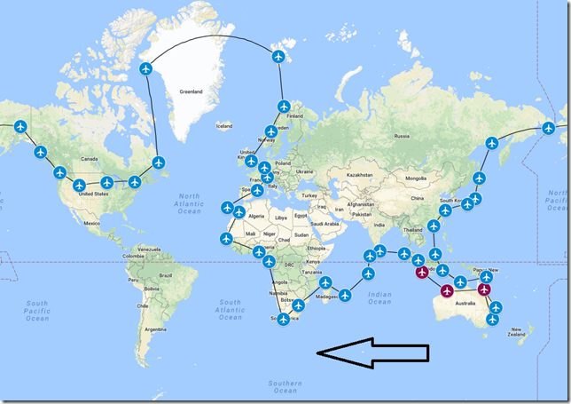
An updated version of our tour map showing Jakarta as visited.
History of City
Early Changi was mostly a malaria mosquito infested swampland and jungle that had several villages spread across the area. The area was first redeveloped by the British as a summer house and getaway location from the city center of Singapore in the 1890’s. During World War II, the area saw mass mobilization of allied troops in anticipation of a Japanese invasion. Today, Changi is an aviation hub and is the current location of both the Changi airport and Changi Air Base. Also, located within Changi is Singapore’s largest prison, Changi Prison. It became infamous as a Japanese prisoner-of-war camp during the occupation of Singapore during WWII. Changi Prison continues to be Singapore’s oldest operating internment facility.
History of Country
Singapore, officially the Republic of Singapore, is a sovereign city-state and island country in Southeast Asia. Singapore lies just 85 miles north of the equator. Singapore’s territory consists of one main island and some 62 other small islands.
Singapore was founded by Stamford Raffles as a trading post for the British East India Company in 1819. During WWII Singapore was occupied by Japan. It gained independence from the UK in 1963. Today, Singapore is a global commerce, finance and transportation hub and is known as the “World’s smartest City” and “Safest Country in the World”.
History of Airport
Singapore Changi Airport (WSSS) is the major civilian airport for Singapore and one of the largest transportation hubs in Southeast Asia. Skytrax (a UK based airline/airport review/ranking site) ranked Changi as the World’s Best Airport for the sixth consecutive year since 2013. Changi is one of the world’s busiest airports by international passenger and cargo traffic. Changi Airport serves as the home base of Singapore Airlines, Singapore Airlines Cargo, SilkAir, Scoot, Jetstar Asia Airways and BOC Aviation. Changi Airport serves more than 100 airlines flying to 400 cities in approx. 100 countries and territories. Each week, about 7,200 flights land and depart from Changi or about one every 80 seconds.
History of Airline
Singapore Airlines is the flag carrier of Singapore and is based at Changi Airport. Singapore Airlines was founded in 1947 as Malayan Airways, and commenced operations as Singapore Airlines in 1972. Singapore Airlines was the launch customer for both the Airbus A380 and Boeing 787-10. It serves 62 destinations in 32 different countries on 5 continents from its primary hub in Singapore. Singapore Airlines once held the distinction of operating two of the longest flights in the world, both direct flights from Singapore to Los Angeles and Newark with the Airbus A350-500. Singapore Airlines has a fleet size of 115 wide-body aircraft from five aircraft families including the Boeing 787, Boeing 777, Airbus A380, Airbus A350 and Airbus A330.
Flight Briefing
SIA1066
WIII – WSSS
Planned Fuel – 32,000 lbs
Planned Altitude – 38,000
Distance – 475nm
Flight Time – 1hrs, 45min
Route: DOLT1B DOLTA A585 PLB G579 REPOV REPO1A
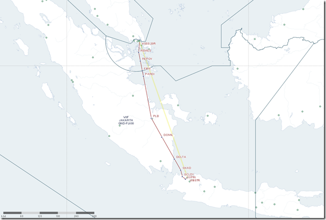
Flight Journal
The stay in Jakarta was brief, but very entertaining for our travelers. Our travelers are eager to reach Singapore as something very historic could take place in the coming days. Finally, this leg will feature an aircraft which is NOT the Boeing 737 variety. For this leg we’re assisting Singapore Airline by moving one of their Boeing 777-300 from Jakarta to Singapore. Our travelers are super excited to have the change of aircraft, it’s a bit unfortunate the distance between Jakarta and Singapore isn’t longer. The Boeing 773 is certainly used to much, much longer flights than the measly 475 we’re flying today. In the real world, the Boeing 777-300 is connecting cities together which are routinely more than 7,000nm apart like Doha to Sao Paulo, Abu Dhabi to Los Angeles, Hong Kong to Dallas/Ft. Worth. But we’ll enjoy each and every mile of our 475 nm journey in this beautiful aircraft.
While our passenger numbers barely occupy half of what this B773 can carry, we’re making up for it in cargo.
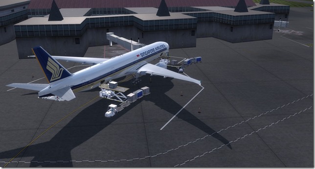
The Boeing 773 is one of the largest aircraft we’ll fly during this tour. Of course, for those who truly love the Queen of the Sky, (Boeing 747-400)…you can expect to see her at least once before we complete our long tour.
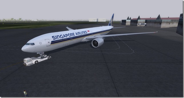
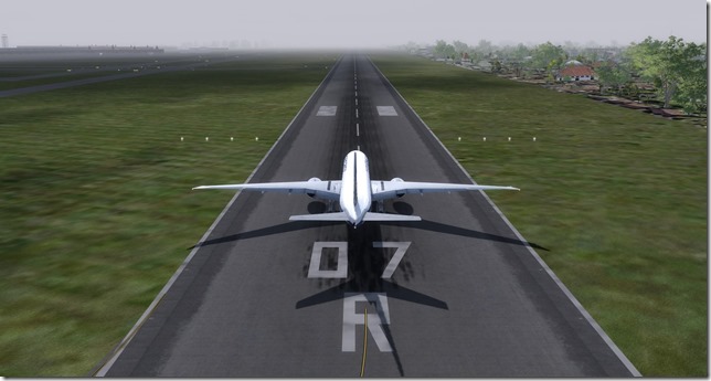
We’ve been given an expedited departure and are ready to go on 07R.
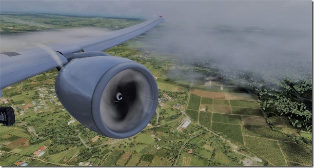
I just love the engine condensation effects produced by the FSFX Packages 777 immersion add-on. Certainly lots of condensation here in hot, humid Jakarta.
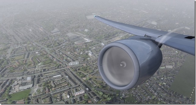
The same add-on adds the condensation effects over the wing as well. And wow…that’s a big wing.
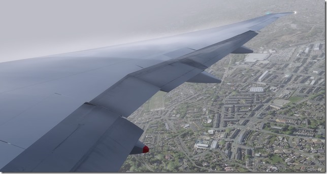
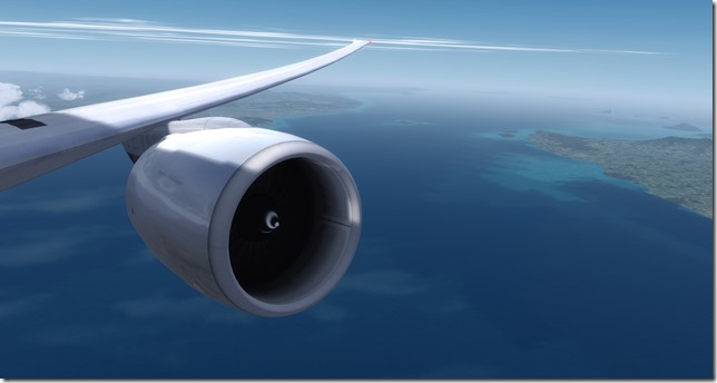
Above the clouds, the humidity and smog…..the GE90-115B engines thrust us to our cruising altitude. For those who may not be as familiar with aircraft statistics. The diameter of one 777 engine is almost the same diameter as the fuselage of the Boeing 737. Pretty impressive if you ask me. And by the way, the replacement cost of just one 777 engine will set you back a cool $24 million dollars.
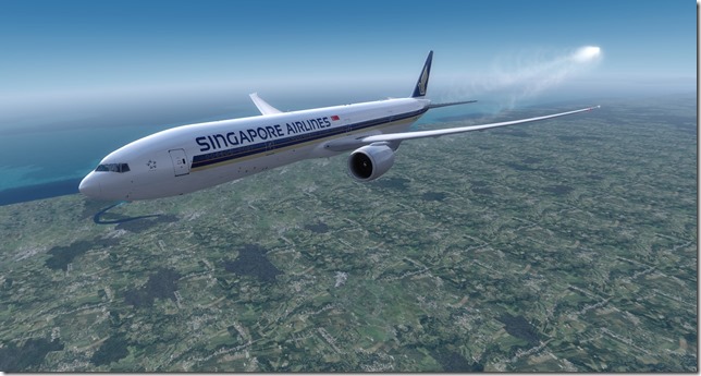
Simple, yet elegant livery for the Singapore Airlines Boeing 773. PMDG has modeled the wing-flex of this beautiful aircraft very well. The total length of the B773 is 242 feet, the wingspan is 200’.
A little cloud cover as we approach our destination.
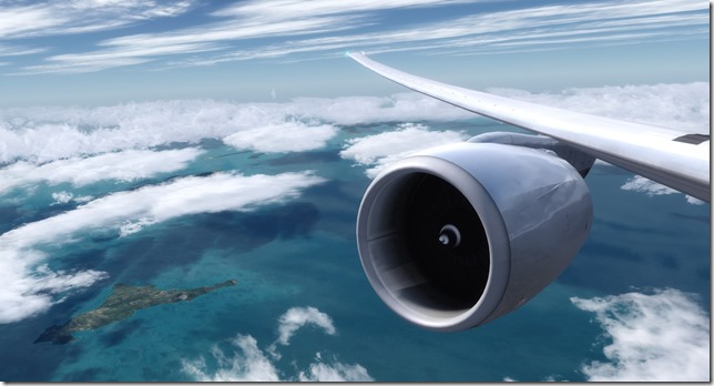
More of that condensation immersion. Singapore is just as hot, humid and sticky as Jakarta.
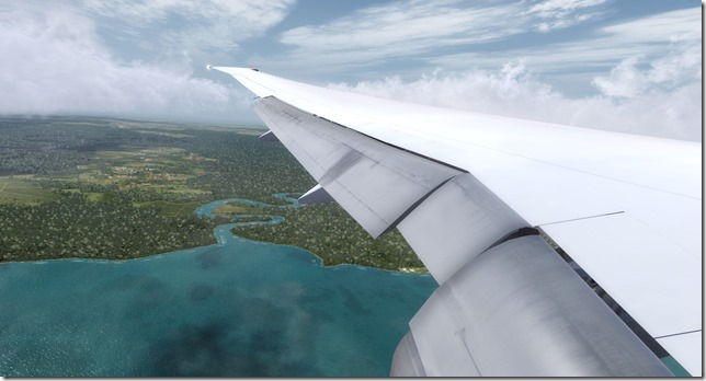
Flaps full.
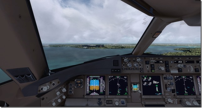
On Final approach into WSSS. We’re a few hours ahead of the other VIP’s who are flying in for the historic event I mentioned earlier.
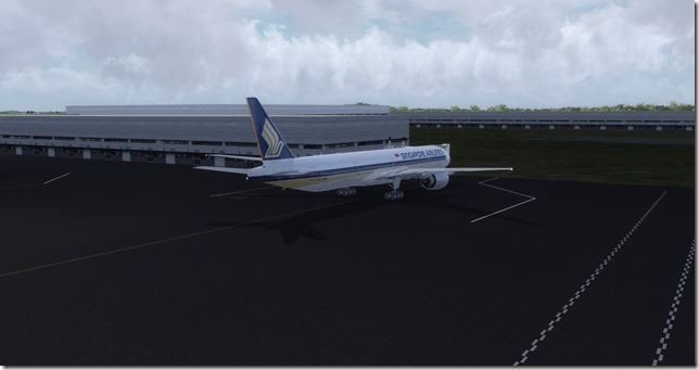
Parked safely at the gate before the rain and afternoon storms begin.
Simulator Specifics
Prepar3d v4.2
ActiveSky Weather Engine
ActiveSky Cloud Art
Envtex & Envshade
PMDG 777-300 Expansion (Singapore Airlines livery)
Orbx Global Texture
VATSIM
Route Planning Tools
AivlaSoft PFPX
Navigraph Charts Desktop
FlightAware
FlightRadar24
SkyVector
Google Maps
Computer Hardware Specs
It was a joy for me to fly the PMDG Boeing 777-300. While I’ve owned the –300 expansion for the 777 for a while now, I believe this is only my second time to fly with this variant. The –300 is 33 feet longer than the –200. But we didn’t encounter a tail strike on take-off or landing. So all is good. When we resume our tour for our 5th leg, we’ll depart Singapore for Sultan Iskandarmuda, Indonesia in the Boeing 787 Dreamliner.
Until next time….
Happy Flying!
Jerry
June 13, 2018 / admin / 0 Comments
I may have previously pointed out that some legs on this tour will be 100% fictional. Meaning, in the real world there are no known flights connecting the two cities or airports together. In addition, the airline I choose to simulate may also not officially serve either of the two airports, but the airlines will be from the region as best as I can setup. For me, the hobby of flight simulation has always been more than just flying. If one chooses, there’s a lot more to be learned from completing world tours like this and I’m very much enjoying performing the research in finding which carriers are flying in these areas and the history and information regarding the surrounding areas. It is my desire that as you come along for the ride, that you may also learn something new from these writings. Thank you for taking the time to read.
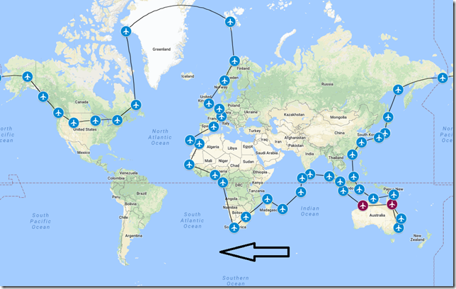
An updated version of our tour map showing Broome as visited.
History of City
Jabodetabek or Greater Jakarta is an official and administrative definition of the urban area surrounding the Indonesia capital city of Jakarta. Jakarta is the largest city of Indonesia and is located on the northwest coast of the world’s most populous island of Java. The island of Java is comparable in size to England and the US State of North Carolina. The Greater Jakarta metro area (again known as Jabodetabek) is the second largest urban area in the world after Tokyo with a population of over 30 million. Established in the 4th century, the city became an important trading port for the Sunda Kingdom and was the de facto capital of the Dutch East Indies.
History of Country
The history of Indonesia has been shaped by its geographic location and consists of 17,000 – 18,000 islands of which 8,844 are named and 922 of these are permanently inhabited. Indonesia is positioned along the equator in South East Asia.
History of Airport
Soekarno-Hatta International Airport (WIII) is the primary airport serving the Greater Jakarta area on the island of Java in Indonesia. Named after the first president and vice-president of Indonesia and is located 20 km northwest of central Jakarta. WIII is the busiest, largest airport in South East Asia, the busiest in the southern hemisphere and one of the busiest (ranked 8th) airports in the world.
History of Airline
I thought it only fitting since we arrived into Broome on Tiger Air, we would fly out on Lion Air. Lion Air is one of many Indonesian low-cost airlines. Based in Jakarta, Lion Air is the largest privately operated airline and the second largest low-cost carrier in all of Southeast Asia after AirAsia. Lion Air operates domestic and international routes connecting Indonesia to Singapore, Philippines, Malaysia, Thailand, India, Saudia Arabia and Australia. Established in 1999, Lion Air have acquired over 100 aircraft with approx. 250 more on order.
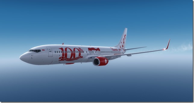
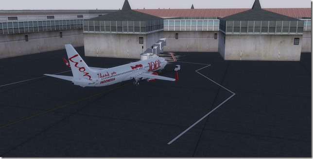
Lion Air currently owns/operates 70 Boeing 737-900ER and was Boeing’s launch customer for this aircraft variant. The livery we will be using for our flight today is in celebration of the 100th 737-900ER built aircraft.
Flight Briefing
LNI1066
YBRM – WIII
Planned Fuel – 24,451
Planned Altitude – 36,000
Distance – 1155nm
Flight Time – 3hrs, 10min
Route: BRM G222 SAPDA A585 IPKON IMU1A
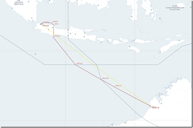
Flight Journal
After several days of exploring Broome and the northwestern portion of Australia, it’s time for our travelers to depart Australia and head northwest to Jakarta, Indonesia. We’ve arranged to shuttle a Boeing 737-900 which belongs to Lion Air back to Jakarta. Our passengers find it funny that they arrived into Broom on a Tiger, and leaving out on a Lion. Once again we’re boarding from the tarmac as our passengers are being bussed in direct from their hotel to the airport.
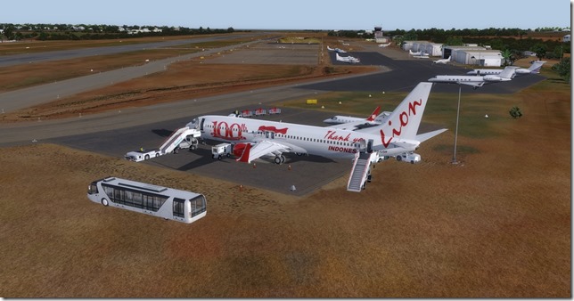
All buttoned up and ready to go. Not sure who owns the small learjet parked next to us. But it must be someone famous or popular as we’ve been asked to depart as quickly as possible so they can escort the famous passenger to his awaiting jet.
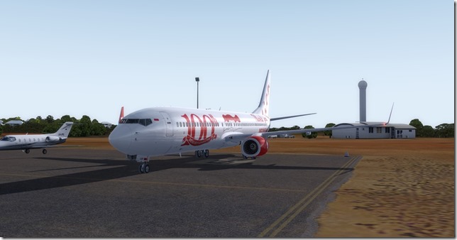
Departing out runway 28. This will be the last payware scenery we’ll have for a while. It sure is beautiful here and I’m sure to return soon.
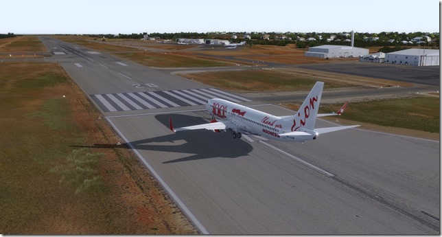
While the textures on the Lion livery lack a bit to be desired, the beauty of the Broom airport and Australia ground textures certainly make up for it. Not to mention the immersion effects.
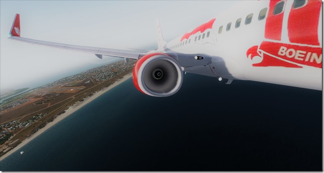
An un-edited view of our PMDG Boeing 737-900 in the Lion Air Livery. As mentioned earlier, this livery scheme was in celebration of the 100th 737-900.
As we begin our descent into the greater Jakarta area, the clouds are starting to build.
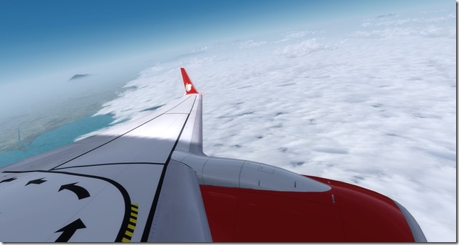
While Jakarta is still in the southern hemisphere, I don’t think the weather and climate will be the same as our travelers experienced in Australia.
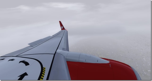
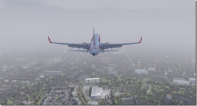
Fully configured for landing and on very short final, I’m sure the runway is down there. Can you say “Hot Sticky Mess”?
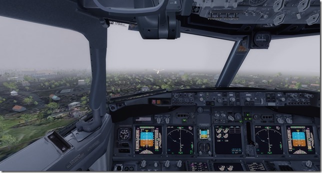
Finally the runway lights appear through the hot, humid air.
Our Lion Air Boeing 739 is safely parked at the gate. As we open the aircraft door we’re immediately hit with that warm, humid air. Welcome to Jakarta!
Simulator Specifics
Prepar3d v4.2
ActiveSky Weather Engine
ActiveSky Cloud Art
Envtex & Envshade
PMDG 737-900 (Lion Air livery)
Orbx Global Texture
VATSIM
Route Planning Tools
AivlaSoft PFPX
Navigraph Charts Desktop
FlightAware
FlightRadar24
SkyVector
Google Maps
Computer Hardware Specs
Thank you for taking the time to read this report. Our next flight will depart Jakarta, Indonesia and we’ll head north of the equator to Singapore. Also, as promised…out next two flight legs will feature the Boeing 777 and Boeing 787 (Dreamliner).
Until next time…
Happy Flying!
Jerry


